In the island of Great Britain there lies two extrems, to the North, John o’ Groats, to the south Land’s End. Covering the distance between them is a great challenge for any hiker, spanning more than 1950km. As opposed to the Land’s End to John o’Groats route, which often involves tarmac and footpaths that will quickly demoralise any budding walker, the End to End Trail follows existing Long distance routes.

End to End TrailEnd to End Trail Useful Links
Map of shelters, campgrounds, Bothies on the End to End Trail
Map of B&Bs on the End to End Trail
Download GPX file of the End to End Trail
End to End Trail on the Hiiker App
Trails that makeup the End to End Trail
The End to End Trail covers all or some of the below trails, and then joins on shorter paths and trails in-between.
- South West Coast Path
- Offa’s Dyke Path
- Staffordshire Way
- Limestone Way
- Pennine Way
- St Cuthbert’s Way
- Southern Upland Way
- Cape Wrath Way East
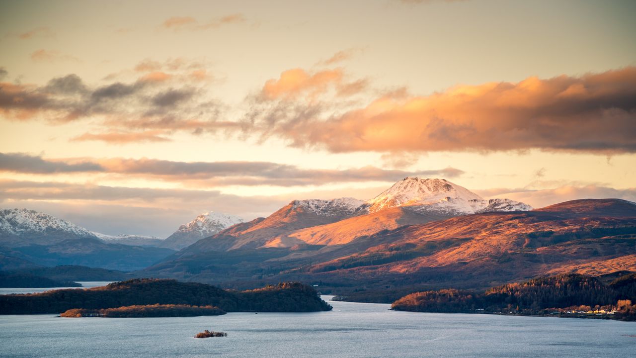
A route of valleys and cols

The End to End is a route designed for Walkers instead of cyclers staying away from roads and tarmac where possible in exchange for valleys and cols. The route doesn’t particularly target peaks, but leaves you with plenty of options to take some small diversions if the 1950km isn’t enough for you. The route isn’t the most northerly or southerly point of the UK so the real fame of the two points is not well understood, though looking plainly at a map can lead naturally to these extremes.
Safety and Challenges on the End to End Trail

Mostly, the End to End Trail is a very safe trail, staying near civilisation, but in Scottish Highlands, in particular after the West Highland Way north of Fort William, the trail gets wild. You can easily be several hours hiking from the nearest people, so when you are solo here, you may need to wait many hours before someone can get to you.
From here, light weight and camping isn’t just optional extra, it can also help you if you are stranded out over night due to a broken leg, hoping to stay in accom all the way will be expensive, impractical if not close to impossible in places, and entail much more danger.
Carrying Food. Take extra through remote areas just in case. Food that doesn’t need to be cooked is important for emergency situations. This is mostly relevant for the very remote areas.
With the Hiiker app you can download Offline maps for the full length of the trail. Some places will have inconsistent cell/phone tower coverage.
River crossing in the Highlands will also be an issue in the Scottish Highlands. It’s important to find a place where the water is moving at less than walking speed, you can see clear to the bottom, and has an open and clear exit on the far side. Makesure you keep your boots on during the cross (wet boots are much more desirable than hurting your foot and falling in!). You can check out this video for some great tips on crossing.
You can create print maps on Hiiker. this is highly recommended. You can take so many with you and post some ahead, and shed sheets (appropriately) as you do.

Water filter. Water is often safe to drink in britain particularly areas above human settlements and farming activity. For safety, bring a water filter like a Saywer Squeeze.
Midges and Ticks
Midges: Midges (check out dedicated article) can be more than just an annoyance and can quickly turn the most level headed person into a raving lunatic so having a head net particularly during the Pennine Way section and in the Scottish Highlands. DEET based repellents though not liked by many, or likely a necessary evil in those places as well. Dawn and Dusk during the summer time will be the worst for them.
Ticks: Lyme Disease from ticks are of concern in the Scottish Highlands. The main protection is not having bare skin around your ankles. You can get a credit card style tick remover than only weighs a few grams. If you are going through a suspected area, check yourself, particularly on the folds of your skin and around your legs.
When to go:
The trail could be affected by COVID-19 depending on the current state of lockdowns. Check out gov.uk to learn more.
As it is the UK, with a temperate climate, you can hike the End to End Trail, but, there could be challenges at particular times of year that could make it difficult at best, or dangerous at worst. The Scottish Highlands can often have deep snow packs, this could make the northern section impassible between December and March, though it depends on the year.
Deer-stalking and grouse shooting season are from 1st July to October 20th. You can check this site for further info and specific time tabled for areas here.
Midge high seaosn is in July in August, again you might not want to be on the Pennine Way or the Scottish Highlands at that time of year, particularly at dawn or dusk.
All this considered, the best time to leave is April, finishing in June or July. For the North to South route the best time to start is in June.
Packing for the End to End Trail
Weight you are carrying will have a direct impact on the amount of effort required. To illustrate this, see the below formula from Outdoor Magazine:
M = 1.5 W + 2.0 (W + L)(L/W)2 + n(W + L)(1.5V2 + 0.35VG)
- W: your weight (kg)
- L: the weight of your pack (kg)
- V: your hiking speed (m/s)
- G: the grade of any incline (%)
While that will be mumbo jumbo to most people, it emphasises the fact that extra weight means more calories, effort, and strain to do the same distance. To illustrate this, increasing your pack weight from 20kg to 40kg can mean 25% increase to calories burnt per hour. Across the End to End Trail, that can mean an extra 65,500 calories, a months worth of food for the average person!! That’s on top of the 292,500 calories it will take you with a more modest weight.
Spare clothes
Two of everything is essentially a max when it comes to hiking. As displeasing as it sounds, many people adopt a inside then outside pattern with undergarments to maintain a certain level of hygiene. Check out this video from Dixie Homemade Wanderlust on trail hygiene.
Prep and Fitness
Building yourself up to regularly doing 30+km days in the hills is a good idea before setting off. Both from a fitness perspective and to “break-in” your feet. Feet that haven’t been regularly hitting those kind of distances will quickly give you issues on the trail. Knowing you are more than comfortable with back to back 30+km days will have you setting off with a lot more confidence, but either way, be ready to do a lot of TLC to your feet. Make sure you are happy with your boots and they are well broken in (don’t make the rookie mistake of starting in new boots).
Resupply on the End to End Trail
There are plenty of towns along the way on the End to End Trail here (to see all of the towns near the trail check this map out)
Posting Ahead while Hiking in the UK
Posting ahead is a handy way to save on weight and free you from carrying items that you only need on specific segments of the trail, or to send back items you no longer need. All trails on Hiiker show the nearby post offices. To see post offices on the End to End Trail, click here.
In the UK you can use a service called Poste Restante to post items ahead. All you have to do is contact the service at customercare@postoffice.co.uk to find the best locations to post to. Generally its only going to be the major post offices. There is a 2 week limit to how long the items will be held so you’ll need to coordinate it correctly so you arrive at the right time.