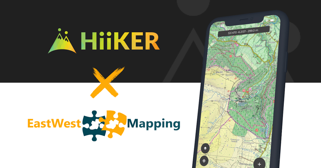
Along with a major upgrade to the HiiKER Apps, we are delighted that HiiKER now features all of the Digital EastWest maps. This exclusive partnership brings the exceptional detail of EastWest maps to the most comprehensive application for Walkers and Hikers in Ireland (and around the world).

EastWest maps are used by hikers and walkers around the country. Most Mountain rescue teams, mountain leaders and navigation course providers will recommend their maps where they have coverage. This is down to the excellent detail that is put into the areas that they cover.

With a HiiKER PRO+ subscription, you can have access to the following areas that are covered by EastWest maps, including
- Connemara mountains
- North Wicklow
- South Wicklow
- The Reeks and Killarney National park
- Clare Island

As well as these maps, you will have access to other premium mapping providers such as OSi, Harvey maps, OSgb, OSNI, USGS, IGN. We will continue to expand this selection of maps.
All of these layers can be the base map on which you track a hike, plan a hike and view an existing verified trail on the HiiKER platform.
