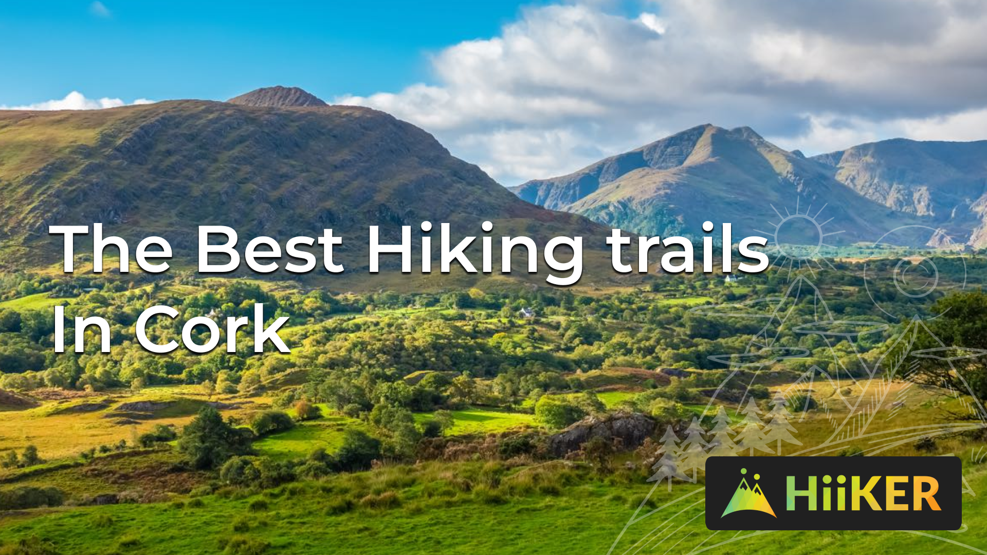
Cork, located in the south west of Ireland, is a region renowned for its rugged beauty and rich cultural heritage. With rolling hills, verdant forests, and dramatic cliffs, it’s no wonder that this area has become a popular destination for outdoor enthusiasts. Whether you’re a seasoned hiker or a beginner looking to take your first steps into the world of hiking, Cork has something to offer.
In this guide, we’ll explore some of the best hikes in the region, highlighting the unique features of each trail and providing tips on how to make the most of your time on the trails. All of these trails are available to download to your smartphone fore free with HiiKER. Find these trails and over 25,000 more over on HiiKER
The Beara Way


The Beara Way is one of the most well-known trails in Cork, and for good reason. This stunning trail winds its way along the rugged Beara Peninsula, offering breathtaking views of the Atlantic Ocean and the surrounding hills. The trail is approximately 210 km long, and while it can be completed in several stages, it is often hiked as a multi-day adventure.

The Beara Way is considered a moderate to challenging hike, with a mix of rocky and uneven terrain. Along the way, you’ll encounter historic ruins, quaint villages, and of course, the stunning coastline of the Beara Peninsula. When hiking the Beara Way, it’s important to be prepared for variable weather conditions, as well as to have your map downloaded for offline use. Despite its challenges, the Beara Way is a must-do hike for anyone visiting Cork, offering a true taste of the county’s rugged beauty.
The Sheep’s Head Way


The Sheep’s Head Way is a less well-known trail in Cork, but it is no less stunning. This scenic trail winds its way through the Sheep’s Head Peninsula, offering a diverse landscape of rolling hills, rocky cliffs, and serene lakes. The trail is approximately 93 km long and can be completed in several stages, making it a great option for those who prefer a more leisurely pace.

Although the Sheep’s Head Way is considered an easy to moderate hike, there are still plenty of challenges to be had, including steep climbs and rocky terrain. Along the way, you’ll encounter charming villages, historic ruins, and breathtaking views of the Sheep’s Head Peninsula.
The Old Head of Kinsale


The Old Head of Kinsale is a narrow headland located on the southern coast of Cork, and it offers some of the most stunning coastal views in the area. The trails in the Old Head of Kinsale are easy to moderate, making them suitable for hikers of all skill levels. One of the most popular trails in the Old Head of Kinsale is the Old Head Loop, which takes you along the cliffs, offering breathtaking views of the Atlantic Ocean and the surrounding countryside.

The trail is approximately 5 km long and takes around 2-3 hours to complete. Another must-do hike in the Old Head of Kinsale is the Kinsale to Charles Fort Loop, which takes you along the coast, passing historic ruins and charming villages along the way.
The Dursey Island Loop Trail


The Dursey Island Loop Trail is a scenic walking route located on Dursey Island, off the coast of County Cork, Ireland. The trail spans 10 km and offers breathtaking views of the Atlantic Ocean, rugged cliffs, and rolling hills. The trail starts at the Dursey Cable Car Station, which is the only cable car in Ireland, and leads hikers through a diverse landscape of fields, forests, and coastlines.

Along the way, visitors can see local wildlife, including seals, seabirds, and sheep, as well as historical landmarks such as the Dursey Signal Tower and St. Mary’s Church. The trail is well marked and relatively easy, making it suitable for walkers of all abilities.
Gougane Barra Horseshoe Loop


The Gougane Barra Horseshoe Loop is a stunning walking trail located in the Gougane Barra Forest Park in County Cork, Ireland. This trail offers breathtaking views of the lake, mountains, and forests, and is one of the most popular walks in the area. The Horseshoe Loop is approximately 11 km long and takes about 5 hours to complete, making it a moderate to challenging hike that is suitable for walkers of all abilities.

Along the way, visitors can see a range of natural wonders, including the clear waters of the lake, towering trees, and diverse wildlife. The trail also offers views of the famous Gougane Barra Chapel, a historic place of worship that dates back to the 19th century.
Barnageehy Loop


The Barnageehy Loop is a scenic walking trail located in the heart of County Cork, Ireland. The trail is situated in the rolling hills of the Sheep’s Head Way, a popular walking and cycling route that spans across the rugged countryside of West Cork. The Barnageehy Loop offers breathtaking views of the Atlantic Ocean and the surrounding hills, with its rugged terrain, wooded valleys, and rolling meadows.

The trail is approximately 7 km long and takes about 3 hours to complete. It is a moderate hike, suitable for walkers of all abilities, and offers a range of landscapes to explore, from coastal cliffs to forested valleys.
In conclusion, Cork is a hiking paradise, offering a wide range of trails that cater to all levels of fitness and experience. Whether you’re a seasoned hiker or a beginner, there’s a trail here that will suit you. So, grab your hiking boots and get ready to explore the best hikes in Cork. Happy trails!
