If you are looking for an app for the Wicklow Way the full trail, offline maps, lots of campsites and accommodation, the Hiiker App has it all for you. If you want to inspect the Wicklow Way on your PC before you hit the trail you can checkout our our Wicklow Way Map.
What is the Wicklow Way?
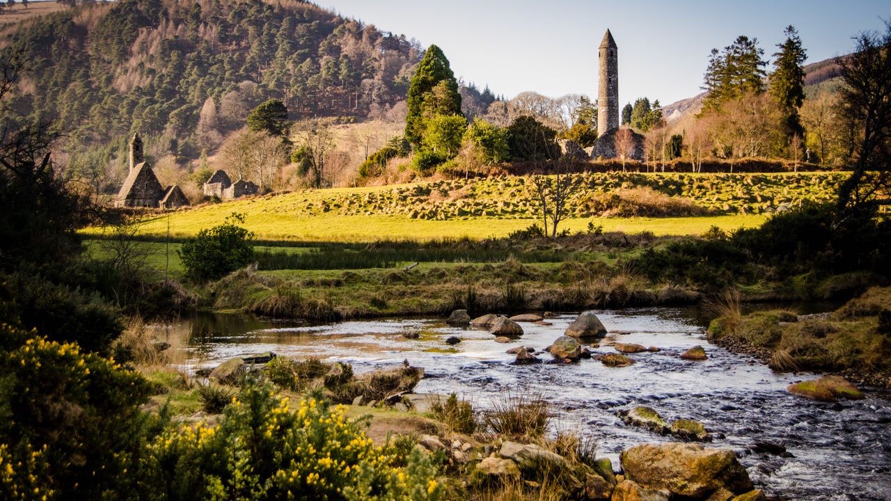
The Wicklow Way is a 128km trail starting in Marlay Park (on the North to South Route, more on that below) and finishing in Clonegal in County Carlow. Along the way you will cross over rugged moorlands and mountains, quintessential green Irish hills, through the historic and mysterious valley of Glendalough, and see end to end panoramas of Dublin City and Dublin Bay.
Here is the top 4 features that the Hiiker app has to help you on the Wicklow Way.
Hiiker – Wicklow Way App Top 4 features
1. Wicklow Way Offline Maps
With Hiiker you can download to high quality offline map layers for the trail. Good portions of the trail have cell tower reception but there are parts of the trail such as crone woods, Djouce Mountain and evening around Glendalough where you won’t have signal. The offline maps with GPS reception will keep you on track. We also have a guide for downloading offline maps on Hiiker.

2. Campgrounds, Hostels and Accommodation on the trail
The Hiiker app shows you lots of campgrounds, hostels, B&B’s, and more along the trail. We only show places that are near the trail so you don’t have to make unnecessary detours. Along the way there is 3 evenly spaced hostels for a budget option, there are several mountain shelters that are free to stay in, and lots of B&Bs offering great hospitality. If you want to start find accommodation that’s on the trail you can check out our Wicklow Way Campgrounds and Places to stay page.

3. Alt routes and stage by stage breakdown of the trail
The Wicklow Way walks right past breathtaking mountain views, and areas of natural beauty. On Hiiker, we add these as alternative routes so you can make the most of it. For example, the Wicklow Way walks past Djouce (725 Meters at the top). It has some of the best views in Wicklow Way, and its only a 15 minute detour of the trail. With the Hiiker App, we mark this and 7 other Alt routes so you can make the most of your time on the trail (Djouce is Alt 2 on the app in case you are wondering!).

Another great alt to check out is the miners trail, Alt 4 on the app.

4. Trail Distance: Distance from your location to anywhere on the trail
The best way to set yourself up for the days hiking is knowing the challenge you have ahead of you for the day. With the Hiiker App you can see your current distance to any of the markers on the trail. Just tap on the marker and then tap on distance.

Another handy feature about the distance is seeing your current location on the elevation profile. As you are ascending up the mountain you can see how much you have left to go.

5. Hike the trail in either direction
As I hinted to at the top, I actually think the Wicklow Way is better hiked from Southern to North, starting in Clonegal and finishing in Mariah Park. The view coming back into Dublin is the perfect way to finish the trail, and it is a lot easier to get from Dublin to Clonegal than from Clonegal back to Dublin.
Thankfully with the Hiiker app in the single press of a button you can reverse the trail direction and hike going in the other direction. Just push the button on the Trail overview screen. You can checkout our guide on reversing the trail direction on Hiiker.

