-
Share your hikes with the world.
Introducing Community Hike Submissions on HiiKER: Help Us Map the World’s Hikes At HiiKER, our mission has always been to make the outdoors more accessible — one trail at a time. Over the years, our
-
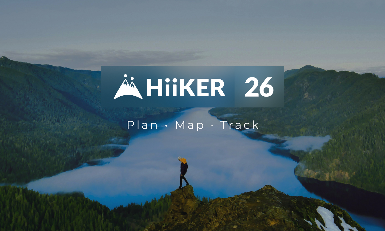
HiiKER 26. Now available.
We have launched our most advanced update yet, bringing a new standard of hike planning Available now to update now form the app stores, HiiKER 26 introduces powerful new tools for planning, navigating, and sharing
-
HiiKER is Now Satellite-Ready with T-Mobile T-Satellite
No matter how far the trail takes you — deep into the backcountry, across wild coastline, or up a lonely mountain pass — you can now bring the full power of HiiKER with you. T-Mobile
-
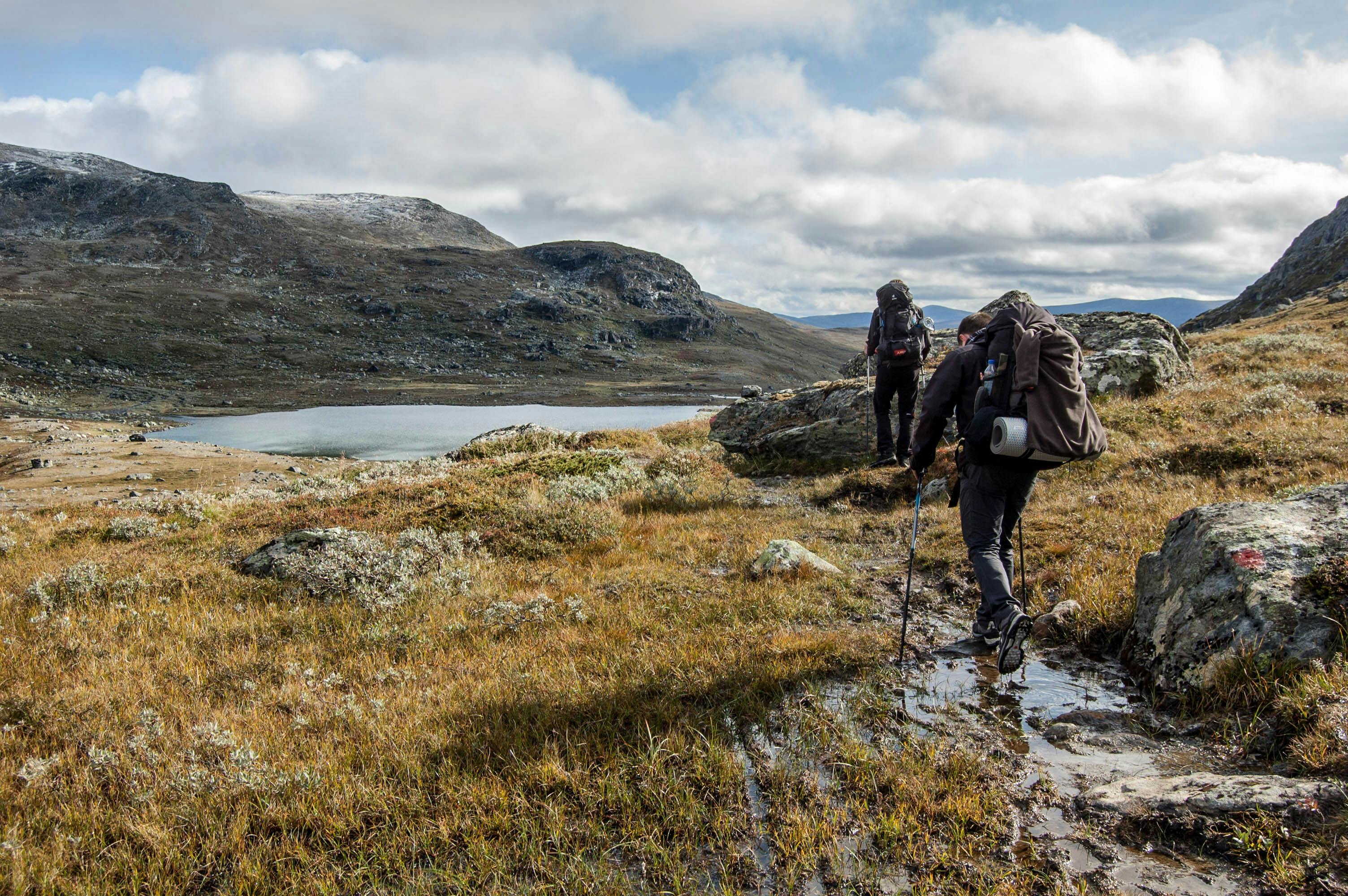
Building a Global Hiking Map
At HiiKER, we’ve been on a mission for the past four years: to help people plan and navigate their hikes through some of the world’s most beautiful wilderness. Along the way, one thing has become
-
How digital maps work in a hiking app
Your Map Isn’t One Image. It’s a Pyramid.TL;DR: A HiiKER map looks seamless, but under the hood it’s built from millions (and at global scale, billions) of tiny square images called tiles. We fetch exactly
-
POIs, Quick actions and more!
Note, this is only available on Android… coming to iPhone app very soon! Get ready for some fantastic updates to your HiiKER app! Say hello to Points of Interest (POIs) and super handy Quick Actions!
-
The HiiKER Map info bar
Our mini stats bar has proven to be a hit with HiiKER since we added it to the map, so we’ve given it super powers! When you’re out on the trail, having the right data

-
Alternatives to Komoot
Given similar patterns observed in the industry, such as Outdooractive’s acquisition of ViewRanger and the downfall of FatMap after it’s integration to Stava, users are understandably apprehensive about the future of Komoot.

-
Hiiker x Hillwalk Tours: A Partnership in creating adventures
As you know, in HiiKER we’ve always exploring ways to make the great outdoors more accessible, and we know our community shares that same love for adventure. That’s why we’re thrilled to announce our new

-
Los geht’s! HiiKER jetzt auch auf Deutsch! 🇩🇪
Wir freuen uns riesig, euch mitteilen zu können, dass wir die HiiKER-App auf Deutsch übersetzt haben! Dank tausender deutscher Wanderwege, einer umfassenden Abdeckung nationaler, historischer und Wanderkarten sowie vieler weiterer Neuerungen ist HiiKER jetzt in
