Category: Mobile Apps
-
The Best Hiking Apps in Ireland in 2026
Ireland is one of the finest hiking destinations in the world. From the wild Atlantic coastline of Connemara to the rolling peaks of the Wicklow Mountains, the rugged Mournes, and the dramatic peninsulas of Kerry and Donegal, the island has no shortage of world-class trails. But to get the most out of those trails, you…
-
HiiKER is Now Satellite-Ready with T-Mobile T-Satellite
No matter how far the trail takes you — deep into the backcountry, across wild coastline, or up a lonely mountain pass — you can now bring the full power of HiiKER with you. T-Mobile has announced the rollout of T-Satellite, giving compatible phones direct satellite data access in areas with no cell signal. We’re…
-
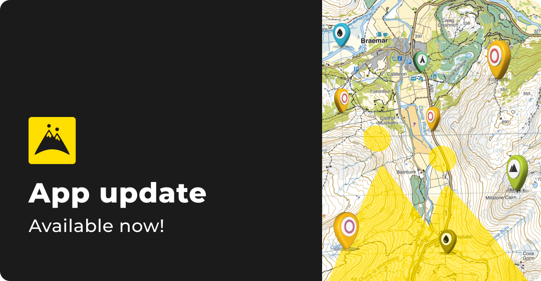
The HiiKER Map info bar
Our mini stats bar has proven to be a hit with HiiKER since we added it to the map, so we’ve given it super powers! When you’re out on the trail, having the right data at your fingertips isn’t just handy—it can make all the difference. We listened to your feedback and have supercharged our…

-
Alternatives to Komoot
Given similar patterns observed in the industry, such as Outdooractive’s acquisition of ViewRanger and the downfall of FatMap after it’s integration to Stava, users are understandably apprehensive about the future of Komoot.

-
Best Alternatives to FATMAP for 3D Hiking and Outdoor Navigation
With FATMAP shutting down, lovers of 3d mapping and navigation are searching for a good alternative to the outdoor app. We list the top 5 apps that provide 3d mapping and are a good replacement for FATMAP Customers.

-
The Best Apps for Hiking 2024
Discover the best apps to help you organise your hiking adventures, from packing and planning to navigating trails. Learn how LighterPack, HiiKER, and other top tools can streamline your next hike.

-
Not all maps are equal: The Superiority of Purple Lizard Maps over OSM for Adventures in Pennsylvania, Virginia, and West Virginia on HiiKER
Learn why hikers are choosing to hike with the best hiking maps on the market. The very best detail for hikers doesn’t come from OSM (Open street map), it comes from Purple Lizard Maps. Check them out on HiiKER

-
3D Maps on HiiKER: A New Dimension in Outdoor Exploration
With the introduction of 3D maps, HiiKER users are now empowered to view premium topographic maps in a stunning three-dimensional format. This innovation is a first in the mobile app landscape, making HiiKER the sole platform offering access to high-quality 3D maps from renowned mapping partners such as Harvey Maps, Swiss Topo, EastWest Mapping, and…

-
apple health, community, Company Update, Fitness & Wellbeing, garmin, google fit, Guides, Help, Hiiker Technical Documents, Hiking, Hiking Software, Integrations, Mobile Apps, strava
HiiKER Integrates with Strava, Garmin, Apple Health, and Google Fit
Exciting news for the HiiKER community! We’re thrilled to announce that HiiKER now integrates seamlessly with leading platforms like Strava, Garmin, Apple Health, and Google Fit. This development represents a significant leap in enhancing your hiking experience, offering more convenience, safety, and connectivity on and off the trail. Seamless Integration with Garmin One of the…

-
we’ve got a brand new look
At HiiKER, our mission has always been clear: to empower more people to connect with the great outdoors. We believe that with knowledge and education comes the confidence to explore. Today, we’re excited to share a pivotal step in our journey – a comprehensive rebranding that refines our identity and simplifies what HiiKER stands for,…