Category: Mapping
-
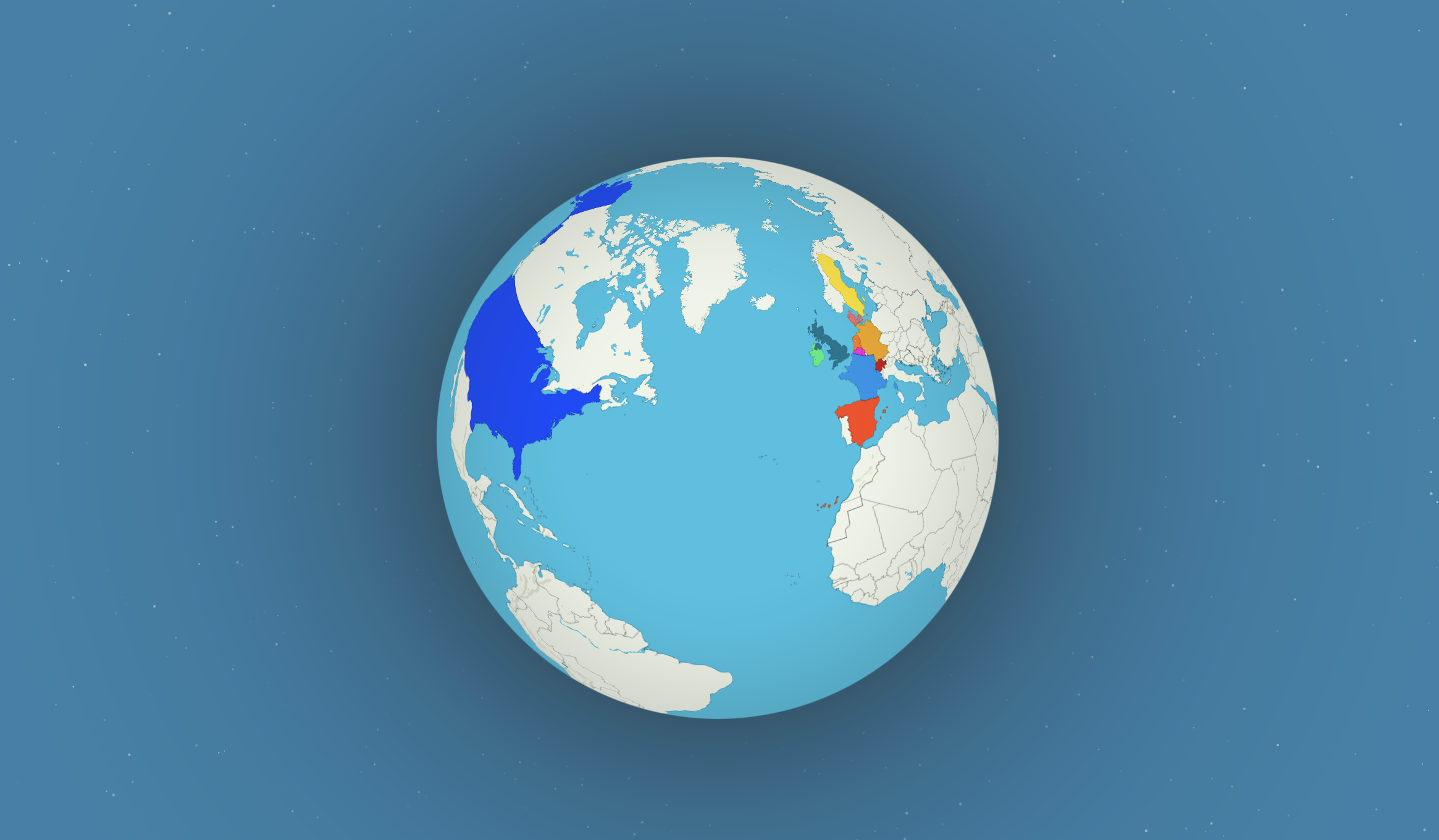
Building a Global Hiking Map
At HiiKER, we’ve been on a mission for the past four years: to help people plan and navigate their hikes through some of the world’s most beautiful wilderness. Along the way, one thing has become
-
POIs, Quick actions and more!
Note, this is only available on Android… coming to iPhone app very soon! Get ready for some fantastic updates to your HiiKER app! Say hello to Points of Interest (POIs) and super handy Quick Actions!
-
Best Alternatives to ViewRanger for Hiking and Outdoor Navigation
ViewRanger is still talked about to this day when it comes to hiking, mapping and navigation technology. Like us, you might be still mourning the removal of ViewRanger from the app store. ViewRanger die-hards were

-
Print National Topographic maps on HiKER
In the ever-evolving world of hiking and hillwalking, technology continues to push the boundaries of what’s possible. HiiKER offers real-time navigation, route planning, and more essential tools for adventurers. However, even with the latest in

-
Glacier National Park, Grand Teton National Park, Mapping, national park, National Park Service, Rocky Mountain National Park, Topo Maps, Uncategorized, USA, Yellowstone
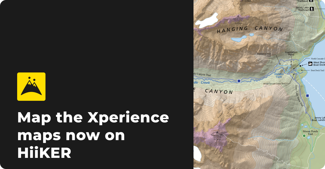
HiiKER Launches New Hiking Maps from Map the Xperience
Explore Yellowstone, Grand Teton, Rocky Mountain, and Glacier National Parks with HiiKER’s new detailed hiking maps from Map the Xperience. Navigate with confidence using offline access, 3D maps, and custom route planning
-
Grid References: A Beginner’s Guide
Discover the essential guide to understanding grid references for hiking. Learn how to use grid references for planning and navigation. See how HiiKER integrates grid references to enhance your hiking experience.
-
New Mweelrea Map from EastWest Mapping – Only Available on HiiKER
Explore the stunning Mweelrea region of County Mayo with the new EastWest Mapping only on HiiKER. Discover key peaks, detailed trails, and essential landmarks to enhance your hiking adventures.

-
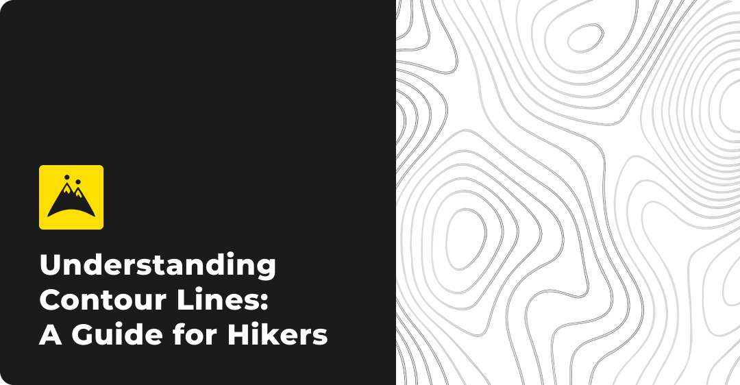
Understanding Contour Lines: A Guide for Hikers
Learn how to read contour lines on topographic maps from all over the world to enhance your hiking adventures. Discover how these lines represent elevation, slopes, and terrain features, helping you navigate safely and efficiently.
-
3D mapping, alps, Appenines, Dolomites, Europe, Germany, Hiking, Italy, Map Reading, Mapping, Mountain Skills, Navigation skills, Partnerships
Not all maps are equal: The Superiority of Kompass Maps over OSM for European hiking Adventures on HiiKER
Learn why hikers are choosing to hike with the best hiking maps on the market. The very best detail for hikers doesn’t come from OSM (Open street map), it comes from Kompass Maps. Check them out on HiiKER

-
3D mapping, Connemara, Ireland, kerry, Map Reading, Mapping, Mayo, Mountain Skills, Navigation skills, Partnerships, Topo Maps, Wicklow
Not all maps are equal: The Superiority of EastWest Mapping over OSM for Adventures in Ireland on HiiKER
Learn why hikers are choosing to hike with the best hiking maps on the market. The very best detail for hikers doesn’t come from OSM (Open street map), it comes from EastWest Mapping. Check them out on HiiKER
