Category: Mountain Skills
-
Alternatives to Komoot
Given similar patterns observed in the industry, such as Outdooractive’s acquisition of ViewRanger and the downfall of FatMap after it’s integration to Stava, users are understandably apprehensive about the future of Komoot.

-
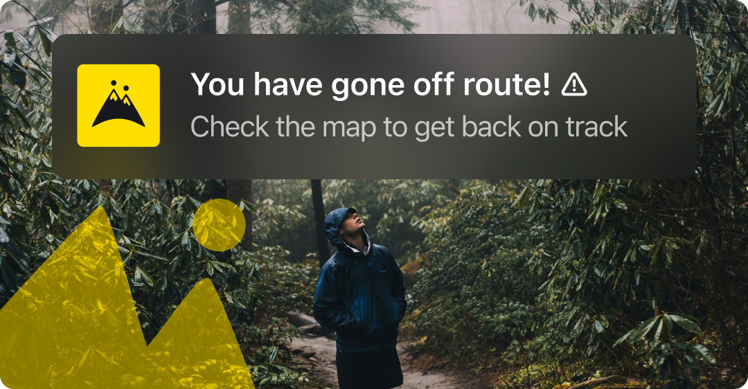
Stay on Track with HiiKER’s New Off-Route Notifications
HiiKER’s new off-route notifications will keep you on-trail while also enabling you to enjoy your hike without having to check your phone every 5 minutes!
-
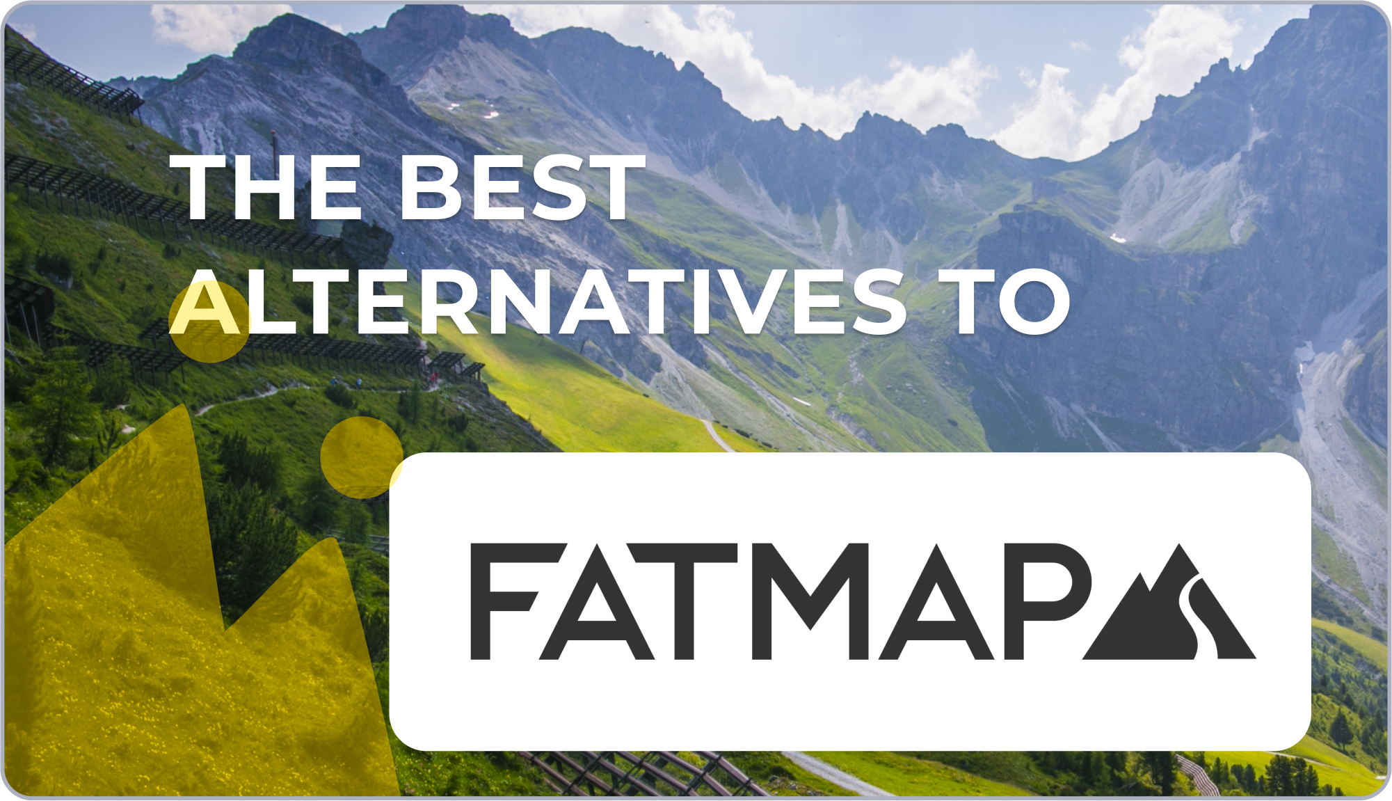
Best Alternatives to FATMAP for 3D Hiking and Outdoor Navigation
With FATMAP shutting down, lovers of 3d mapping and navigation are searching for a good alternative to the outdoor app. We list the top 5 apps that provide 3d mapping and are a good replacement for FATMAP Customers.
-
Grand Canyon National Park, Hiking, long distance hiking, mountain safety, national park, National Park Service, Short Trails, USA
Top 10 Hiking Trails in Grand Canyon National Park
Discover the top 10 hiking trails in Grand Canyon National Park. From iconic rim-to-river routes to hidden gems with breathtaking views, explore the best hikes in one of the world’s most awe-inspiring landscapes.

-
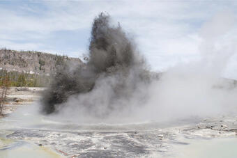
Hydrothermal Explosion in Yellowstone National Park: What happened and what It means for visitors
Hydrothermal Explosion in Yellowstone National Park: What happened and what It means for visitors
-
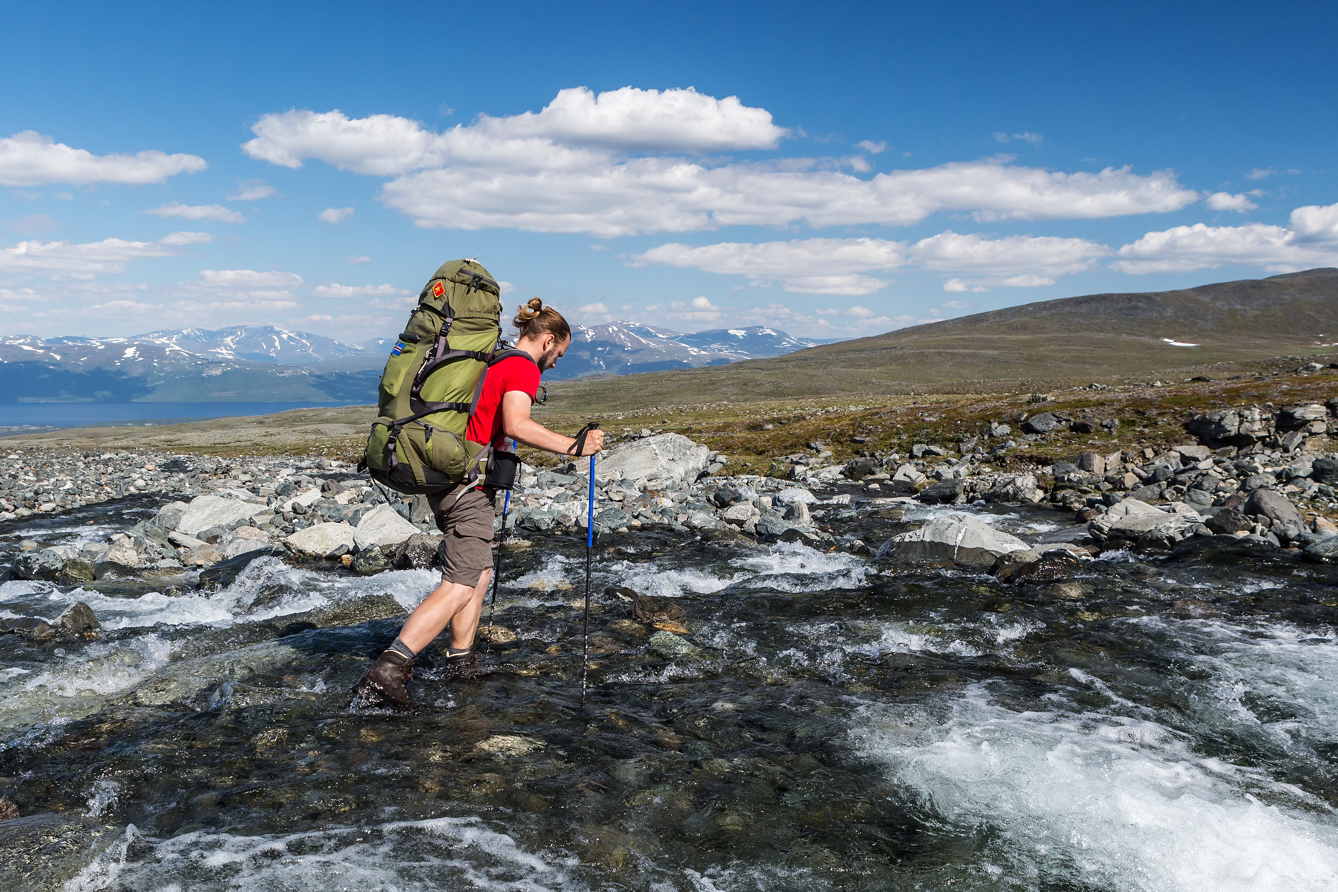
Navigating River Crossings: Essential Tips for Hikers
Learn essential tips for safely navigating water crossings on hiking trails. Discover techniques, preparation steps, and safety measures to enhance your hiking experience and tackle water crossings with confidence.
-
How to Stay Oriented: Using Landmarks and Natural Features for Navigation
Learn how to navigate using natural landmarks and features with our comprehensive guide. Discover tips for using mountains, rivers, rock formations, and more to stay oriented on the trails. Enhance your hiking experience with practical navigation skills and modern tools like HiiKER

-
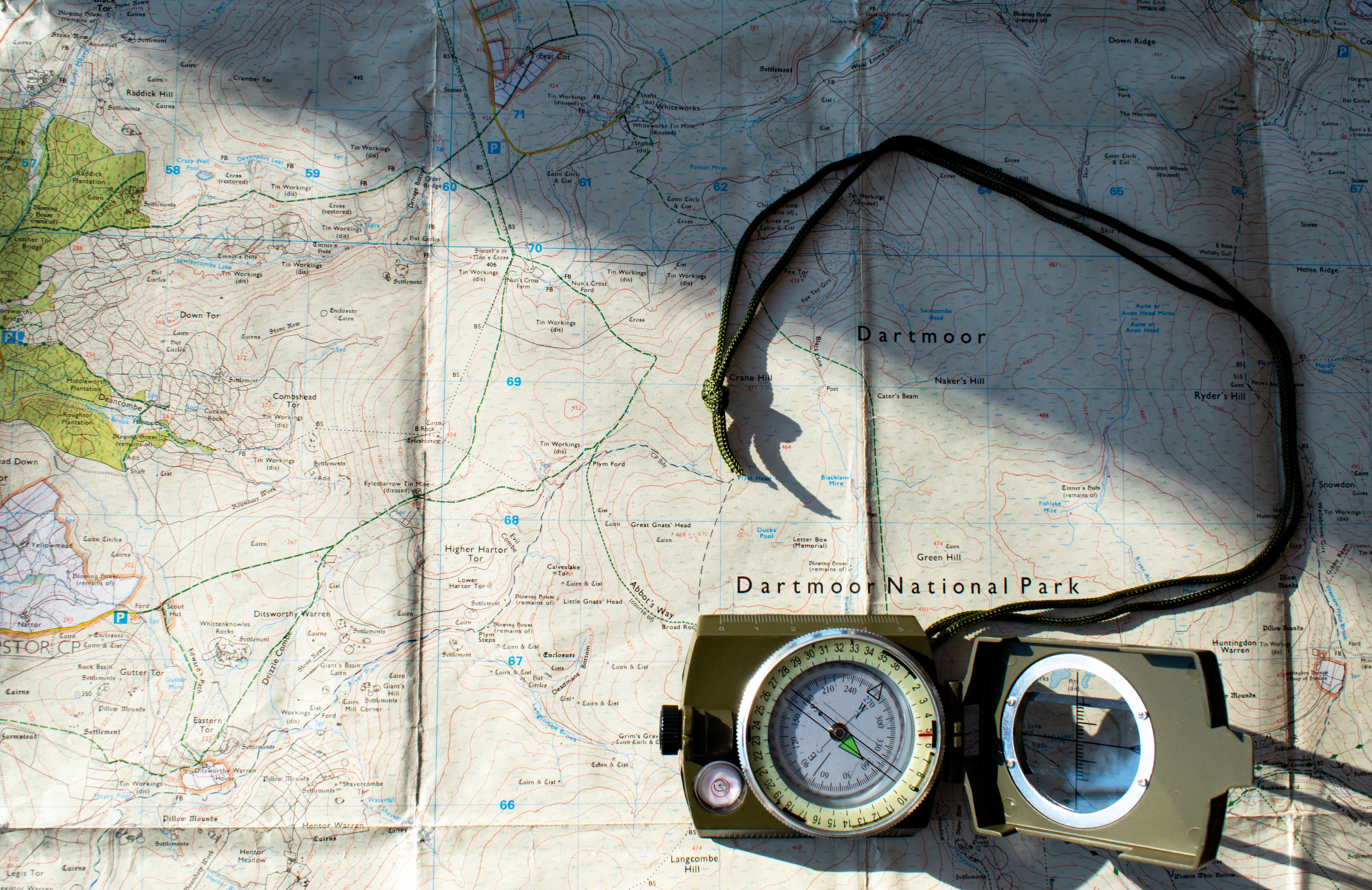
Grid References: A Beginner’s Guide
Discover the essential guide to understanding grid references for hiking. Learn how to use grid references for planning and navigation. See how HiiKER integrates grid references to enhance your hiking experience.
-
New Mweelrea Map from EastWest Mapping – Only Available on HiiKER
Explore the stunning Mweelrea region of County Mayo with the new EastWest Mapping only on HiiKER. Discover key peaks, detailed trails, and essential landmarks to enhance your hiking adventures.

-
Understanding Contour Lines: A Guide for Hikers
Learn how to read contour lines on topographic maps from all over the world to enhance your hiking adventures. Discover how these lines represent elevation, slopes, and terrain features, helping you navigate safely and efficiently.