Category: Hiking Software
-
HiiKER is Now Satellite-Ready with T-Mobile T-Satellite
No matter how far the trail takes you — deep into the backcountry, across wild coastline, or up a lonely mountain pass — you can now bring the full power of HiiKER with you. T-Mobile has announced the rollout of T-Satellite, giving compatible phones direct satellite data access in areas with no cell signal. We’re…
-
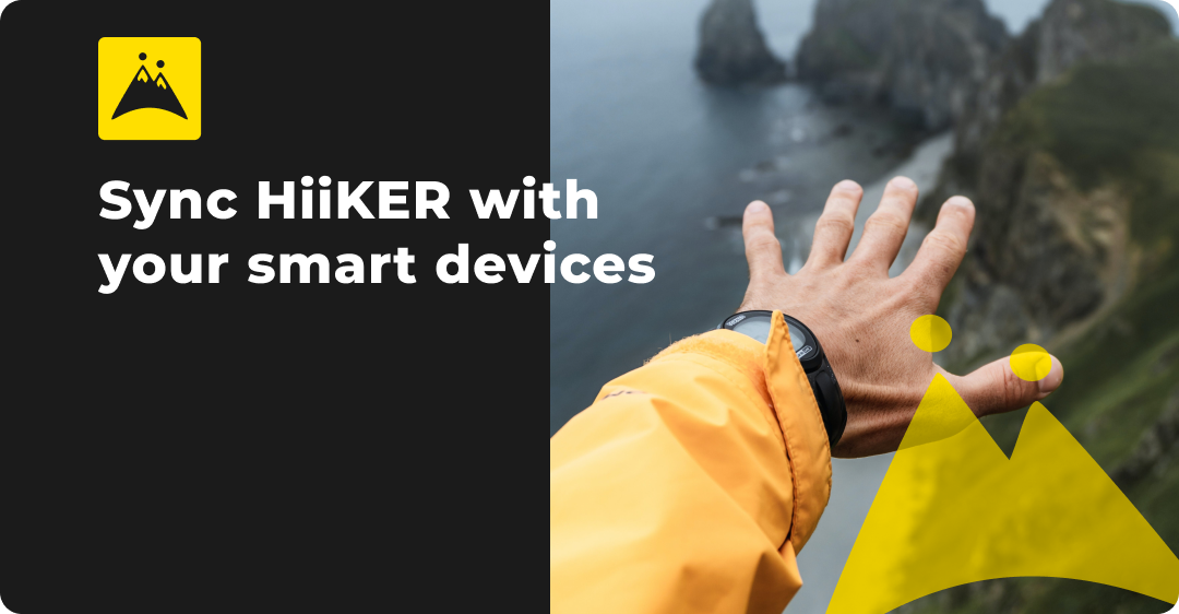
apple health, community, Company Update, Fitness & Wellbeing, garmin, google fit, Guides, Help, Hiiker Technical Documents, Hiking, Hiking Software, Integrations, Mobile Apps, strava
HiiKER Integrates with Strava, Garmin, Apple Health, and Google Fit
Exciting news for the HiiKER community! We’re thrilled to announce that HiiKER now integrates seamlessly with leading platforms like Strava, Garmin, Apple Health, and Google Fit. This development represents a significant leap in enhancing your hiking experience, offering more convenience, safety, and connectivity on and off the trail. Seamless Integration with Garmin One of the…
-
What’s new with HiiKER? New Functionality & more
From new features to new maps and everything in between, find out the latest news about HiiKER.

-
How we calculate hike time
Calculating the time to hike a trail in an automated way is very difficult. The inevitable challenge is that difficult terrain can dramatically slow down progress, and that can’t necessarily be inferred from the data alone. For example, a perfectly flat and straight boulder field could slow you down to 0.5 km per hour, whereas…