-
What’s New in HiiKER — February 2026
Search the community feed, watch improvements that lean on your phone’s GPS for better accuracy, and a more stable home screen.
-
What’s New in HiiKER — January 2026
HiiKER comes to your wrist with our companion watch app — plus GPX import fixes, more reliable recordings, and smoother planning of big routes.
-
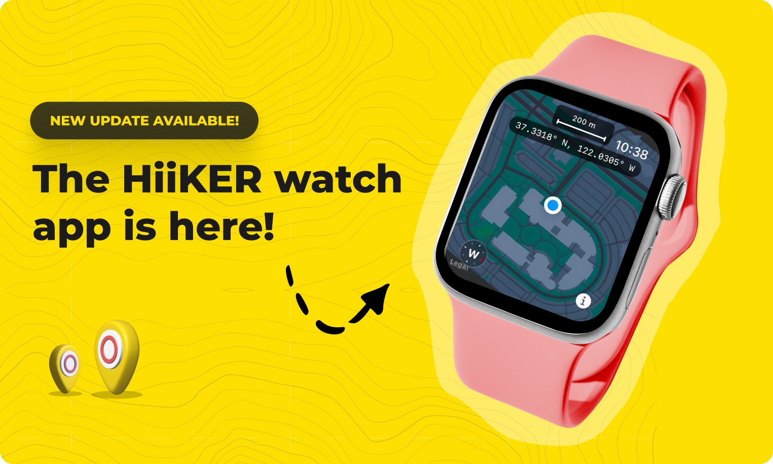
HiiKER Comes to Your Wrist: Introducing Our Companion Watch App
We’re thrilled to announce that HiiKER is now available on your smartwatch! After months of development and testing, our companion watch app is rolling out to both Android and iOS users, bringing navigation and tracking capabilities right to your wrist. Your Hike, At a Glance The HiiKER watch app puts essential hiking information exactly where…
-
What’s New in HiiKER — December 2025
Our biggest update of the year — HiiKER 26 lands on Android with an expanded hike planner and community hike submissions, plus a wave of recording improvements.
-
Share your hikes with the world.
Introducing Community Hike Submissions on HiiKER: Help Us Map the World’s Hikes At HiiKER, our mission has always been to make the outdoors more accessible — one trail at a time. Over the years, our dedicated hike team has spent countless hours curating, verifying, and adding over 120,000 hikes to our ever-growing global database. From…

-
HiiKER 26. Now available.
We have launched our most advanced update yet, bringing a new standard of hike planning Available now to update now form the app stores, HiiKER 26 introduces powerful new tools for planning, navigating, and sharing hiking adventures. At the core of this release is a major expansion of the our hike planner. Hikers can now:…

-
HiiKER is Now Satellite-Ready with T-Mobile T-Satellite
No matter how far the trail takes you — deep into the backcountry, across wild coastline, or up a lonely mountain pass — you can now bring the full power of HiiKER with you. T-Mobile has announced the rollout of T-Satellite, giving compatible phones direct satellite data access in areas with no cell signal. We’re…
-
What is a “HiiKER” hike
HiiKER hikes are hikes sourced and built by our HiiKER hike production team. Hike data is provided to us from partner organisations and open source data sets, which is reviewed, processed via our hike system and verified for release to you the user to follow and edit as you wish. But of course there are…
-
What’s New in HiiKER — August 2025
A polish-focused month — more accurate coordinates, smoother Live Locator views, and behind-the-scenes reliability work.
-
Building a Global Hiking Map
At HiiKER, we’ve been on a mission for the past four years: to help people plan and navigate their hikes through some of the world’s most beautiful wilderness. Along the way, one thing has become crystal clear — we’re obsessed with maps. Not just any maps, but topographic hiking maps. It started with the classics:…