
For the last couple of years, I had been in search of the best multi-day hikes all over Australia. The obvious ones such as the Overland Track kept popping up but I had already completed it and I was in search of something with fewer crowds and tantalising views. One day I came across a relatively unknown loop track located in the Australian Victorian Alps. Nestled next to the famous ski town Buller, the “Buller Huts Trail” loop features some of the most scenic sections of the Howqua River and Australian Alps Walking Track.
History of the track
First conceived by Darren Edwards and published in 2017, the Buller Huts Trail Loop consists of approx. 100km of 4wd road, overgrown ridgeline track, river crossing detours and steep ascents. The incredible variety, high level of accessibility and stunning scenery mean that it is easily one of Australia’s top multi-day hikes. I was able to enlist some of my thru-hiker friends, Ben and Zac, to accompany me on my journey. Although this track is graded a level 5, I found that using good navigation software and knowing my maps made it a lot easier to conceive and achieve.
Note: The trail I mapped was 87km and has some amendments. It does not completely reflect the original “Buller Huts Trail”. I made these decisions based on getting the most “bang for our buck” with scenery and attempting tracks that were reportedly overgrown.
Day 1
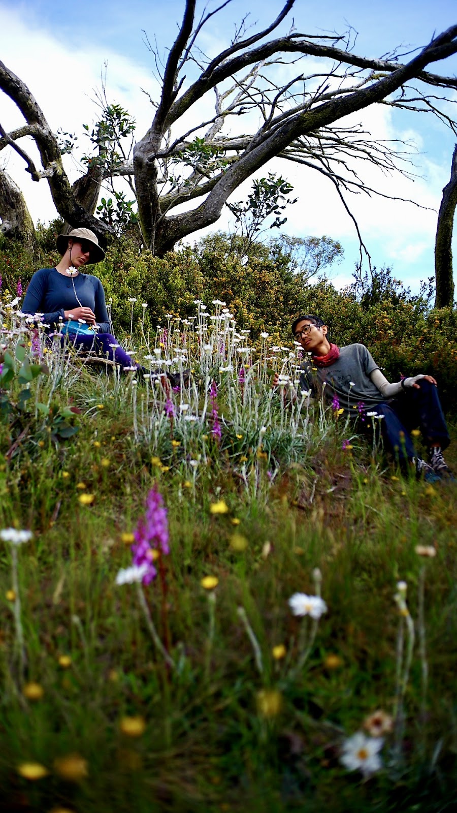
We started slightly later than we had planned. 9.30am is a late hiker’s start, right? We descended into Mother Nature’s exquisite floral arrangements. I vividly remember Zac shouting “These flowers are awesome”. The initial descent was littered with Alpine daisy – Brachyscome spathulata Trigger plant – Stylidium Dagger-leaf celmisia – Celmisia pugioniformis Common shaggy-pea – Oxylobium ellipticum. We snaked our way down into the tree-line and over some rocky outcrops that both Ben and I took a little slide on. From there the descent was unforgiving.
With the hot sun beating down on us and the limited water supply at hand, we were eager to reach the Howqua River. At last! We reached the crossing with a consensus to have a well-deserved lunch.

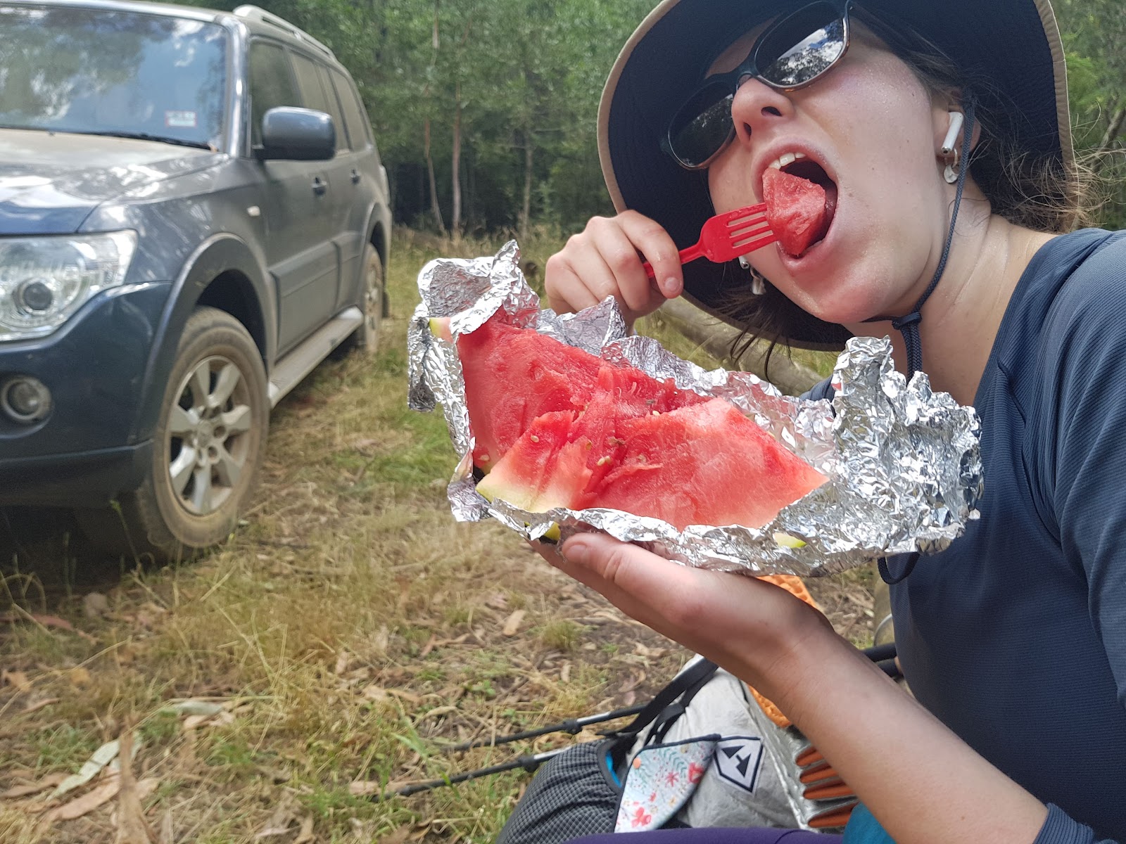
We freshened up in the river and once again we were ready to go. On our way, we encountered our first unintentional trail angel who gave us some watermelon that we all devoured.
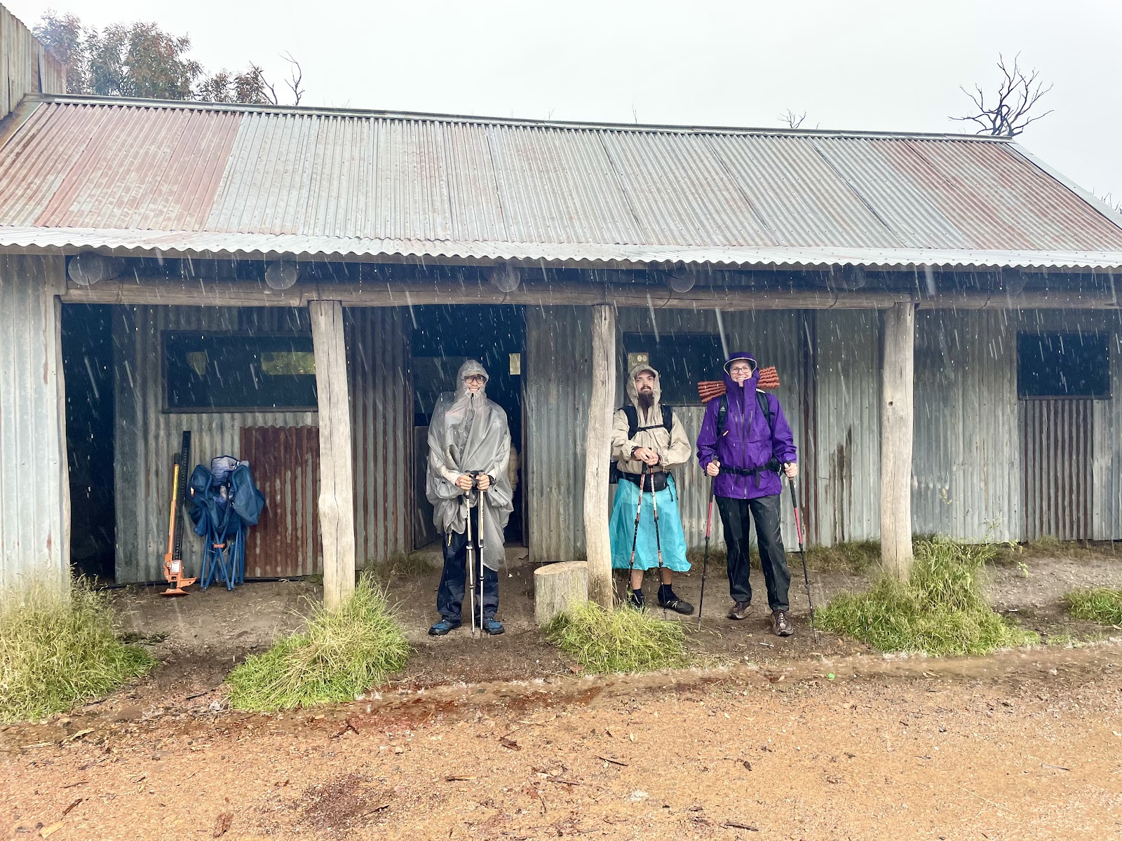
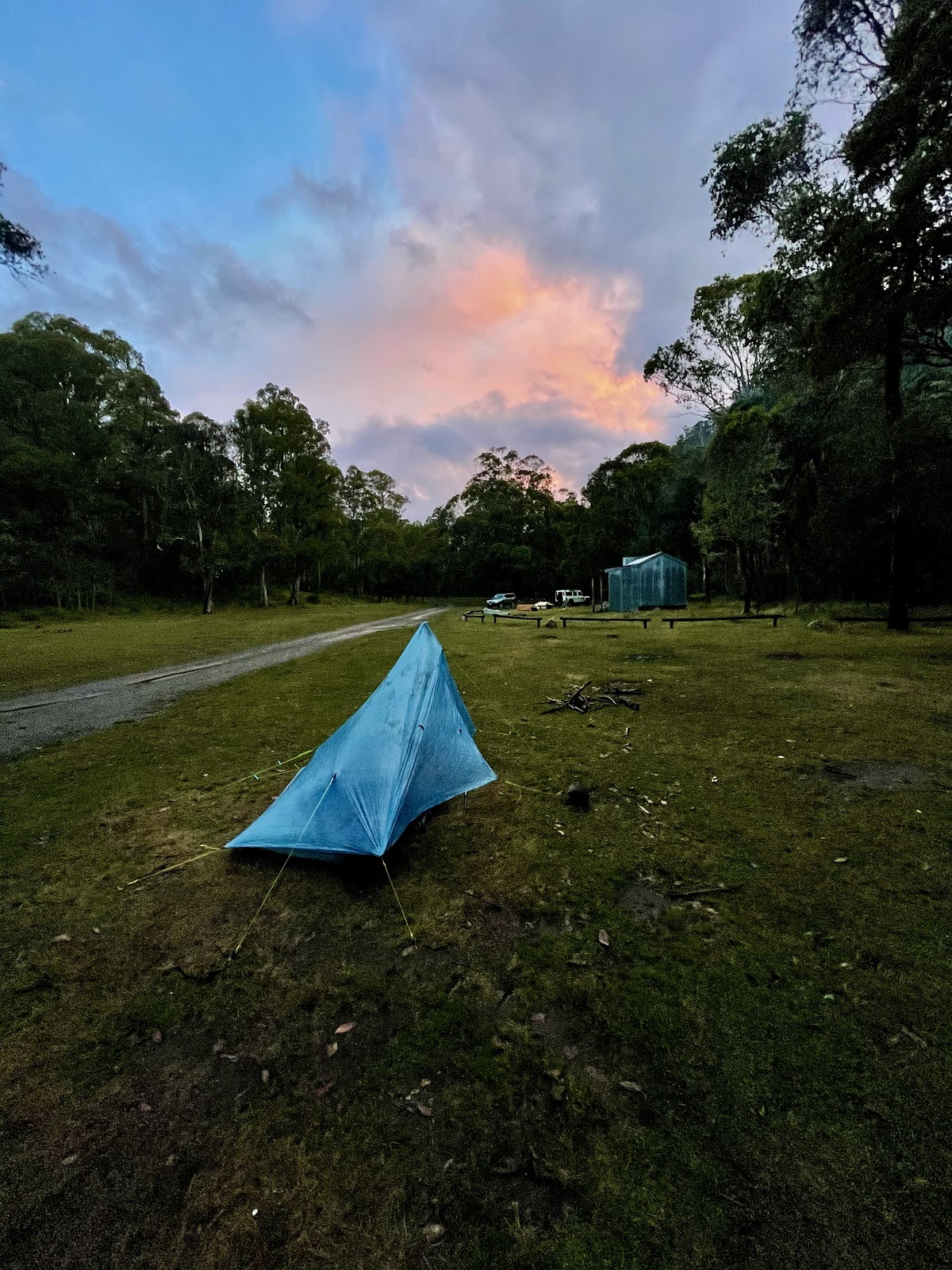
Although the original trail route suggests to camp at the 7mile Camp, we decided to push ahead to Ritchies Hut instead of making our way through Refrigerator Gap and onto Bluff Camp (11.87km with 1367m ascent and 726m descent – no thanks). From my research, the Ritchies Hut route offered more variety in the scenery with its 16 water crossings. When we arrived at Ritchies Hut we were greeted with beer cocktails, pumping music and friendly banter by a group of people who were celebrating New Year’s Eve together.
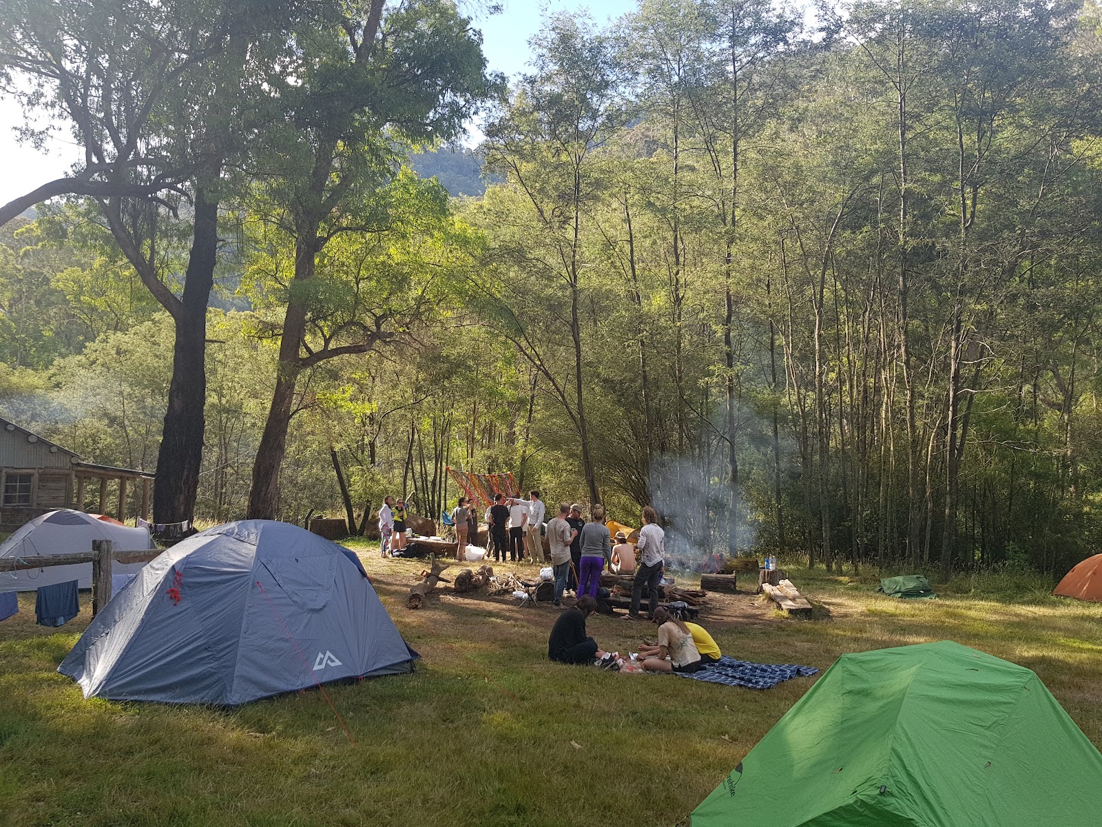
I was initially apprehensive to take anything from these people, but they pestered us into eating and drinking with them (maybe they were traumatised by the thought of cold-soaked couscous?). As much as we wanted to continue the party, all three of us retired to our “plastic bag” tents at 10.30 pm. We welcomed the new year asleep in our tents – what more could you want?
Day 2
Awake at first light, we crept out of the campsite and trudged uphill for 5.7km to Bluff Hut. My trail legs were still on backorder. I struggled up the hills. Everything just felt difficult and I was “straight-up not having a good time”. However, I was occasionally gifted with enormous scenic views of the valley that made it all worth it.
About halfway to Bluff Hut, the track became sparse and hard to follow. I lost the track twice!
Having good navigation and mapping knowledge is essential! The last 2km of the track were dirt 4WD tracks with the occasional truck hoofing up it. I tried to telepathically communicate with these trucks praying they’d suggest I hitch until Bluff Hut. It was unsuccessful. The clouds were looming above and aggressively taunting us with angry little cracks of thunder. I rocked up at Bluff Hut shattered (and frankly, a little thankful that the rain delayed our departure). When in doubt, fix it with a ramen bomb? I laid down on my switchback for what felt like hours, occasionally lifting my head to eat.
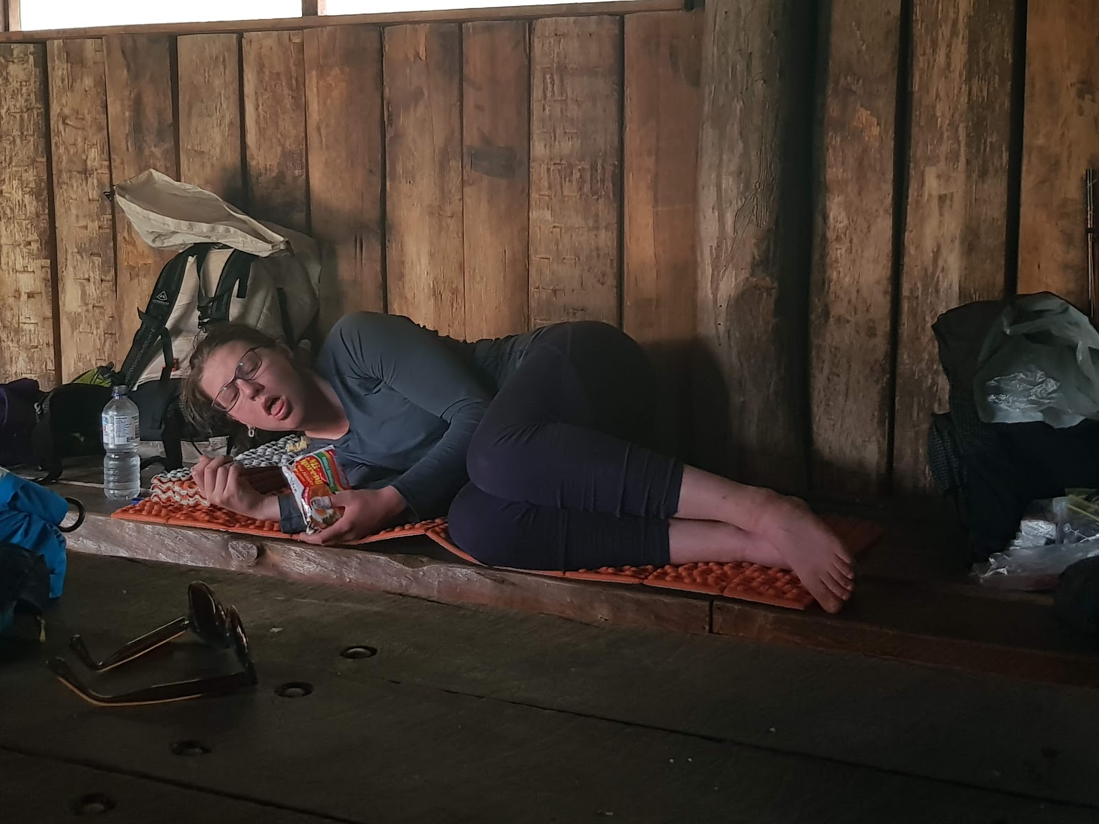
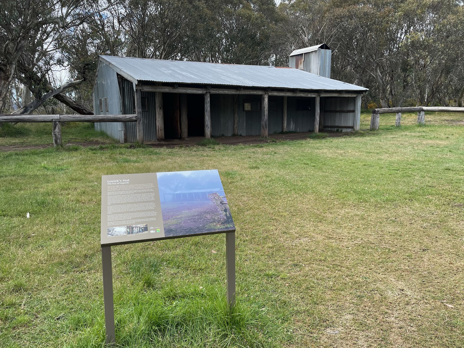
Another unintentional trail angel gave us some water bottles. I was so thankful because my stupid ultralight mentality was already determined to strategically dehydrate until the next day because there wasn’t a water source at our camp location, Lovicks Hutt. We rugged up in our wet weather gear and pushed through to Lovicks Hut.
Thankfully, there was limited elevation and wide open 4WD tracks. As we arrive at Lovick’s hut, two trucks with all the bells and whistles start to unpack and started the fire. I sat in front of that fire frying my soggy feet and hair for the rest of the afternoon while drinking 2 guava Cruisers with Zac, Ben and two 4WDers. We all watched the “bush tele” (the fireplace) and fell asleep on the floor of the sooty, dusty hut.
Day 3
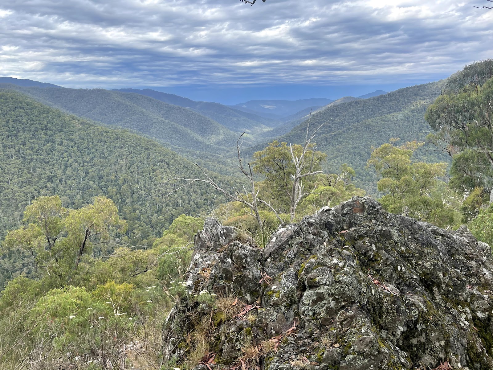
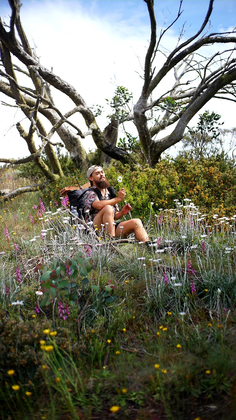
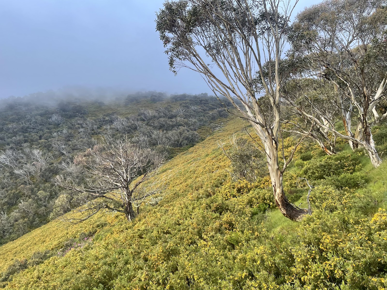
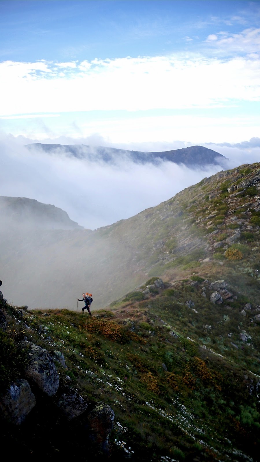
The next morning the weather had cleared and we ventured on to Picture Point. This route sectioned the Australian Alps Walking Track (AAWT) and was notoriously some of the prettiest hiking you can do in Australia. I’ll let the photos do the talking

Picture Point was stunning, to say the least.
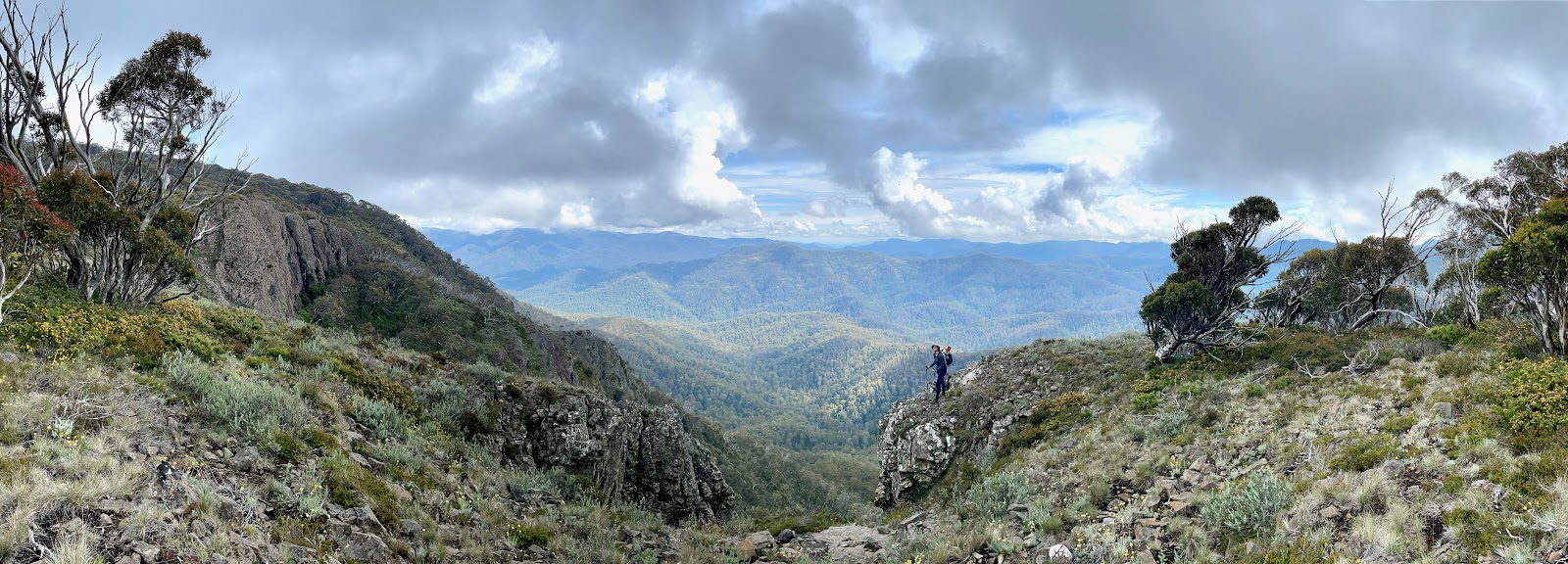
Panoramas all around! Mt Magdala was also another glorious sight to see. As I walked through the meadows, I was engulfed by the bursting summer florals, butterflies and bees. Knowing there was a storm looming on the horizon, we decided to go our own pace and meet at the Vallejo Hut. 2.5km from the Hut the heavens opened and the rain fell like fat bullets. Once at the hut, I was welcomed in with kind words from Ben and Zac and playful chatter from 2 younger children and their parents. One of those kids sat on my switchback with a bare bum, farted and then proceeded to laugh. It was disgustingly delightful. With a rich array of free (conventionally gross) packaged food, candles and facilities, the hut soon became the hiking oasis I had dreamed of.
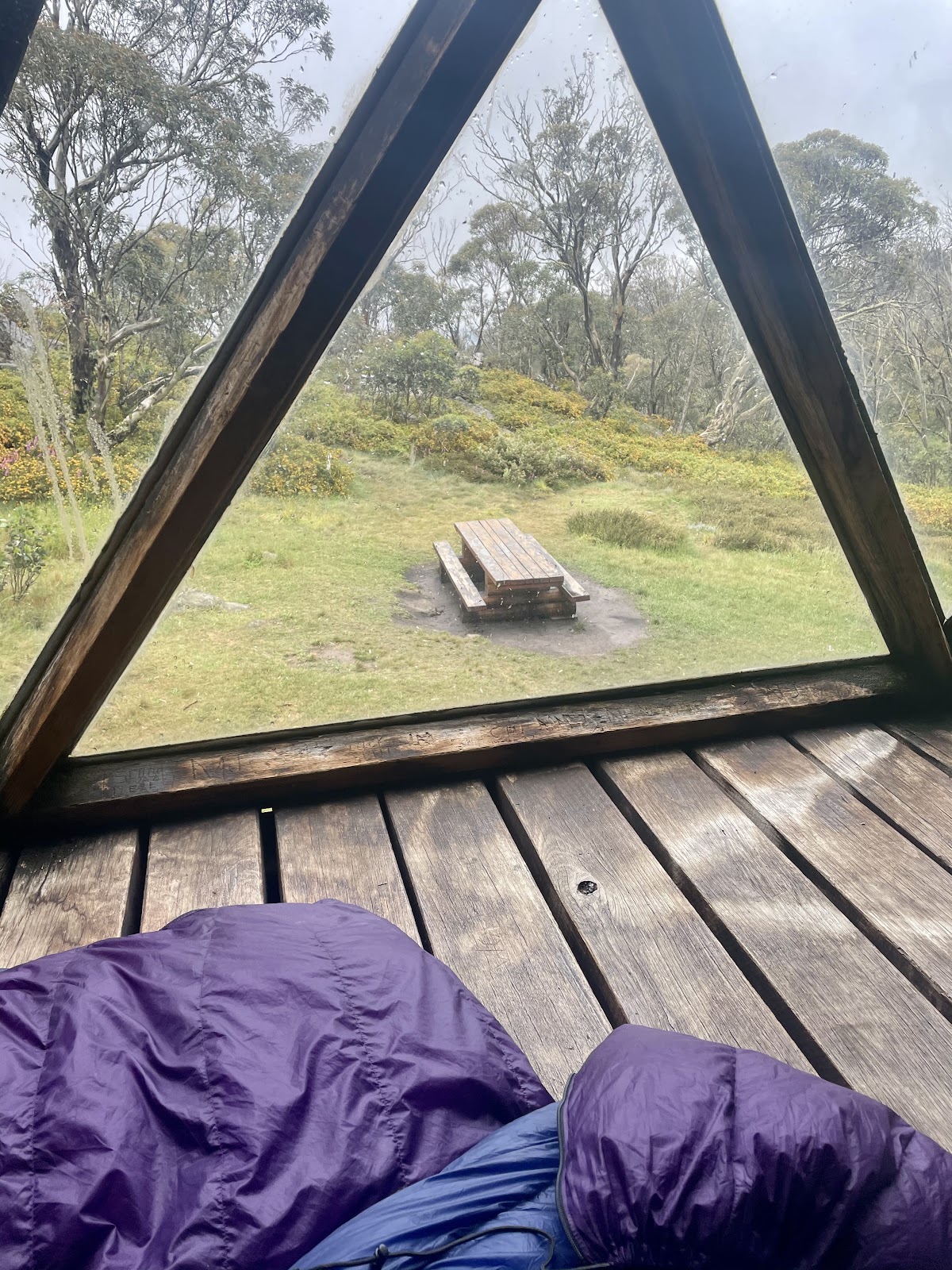
Day 4: After a cosy night’s sleep, we had decided to spend the day at the hut to wait out the weather. We were perfectly comfortable with completing the infamous “Cross Cut Saw” in the rain, we just wanted to experience it in all its glory. There was an expected window of clear weather the morning after so it was a no brainer to take a zero at Vallejo Hut. Now for those of you who have never heard of Vallejo Hut, let me introduce the best free hut in Australia. Constructed in 1971, the hut has an
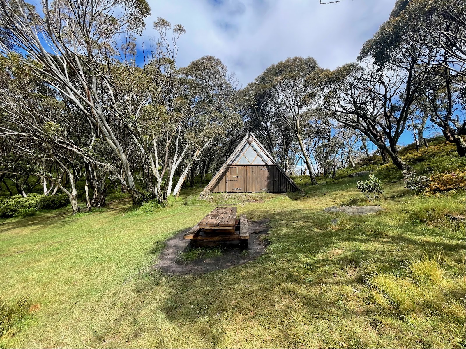
A-frame structure and built with a central fireplace. It boasts the CUTEST little loft with broad windows that overlooked the enchanted snowy gums and bushy scrub
But wait! There’s more! It is situated right next to a natural spring called “Macalister Spring” that is only a short walk away. And if you think that couldn’t get any better, the “loo with a view” is every Hiker’s dream throne!
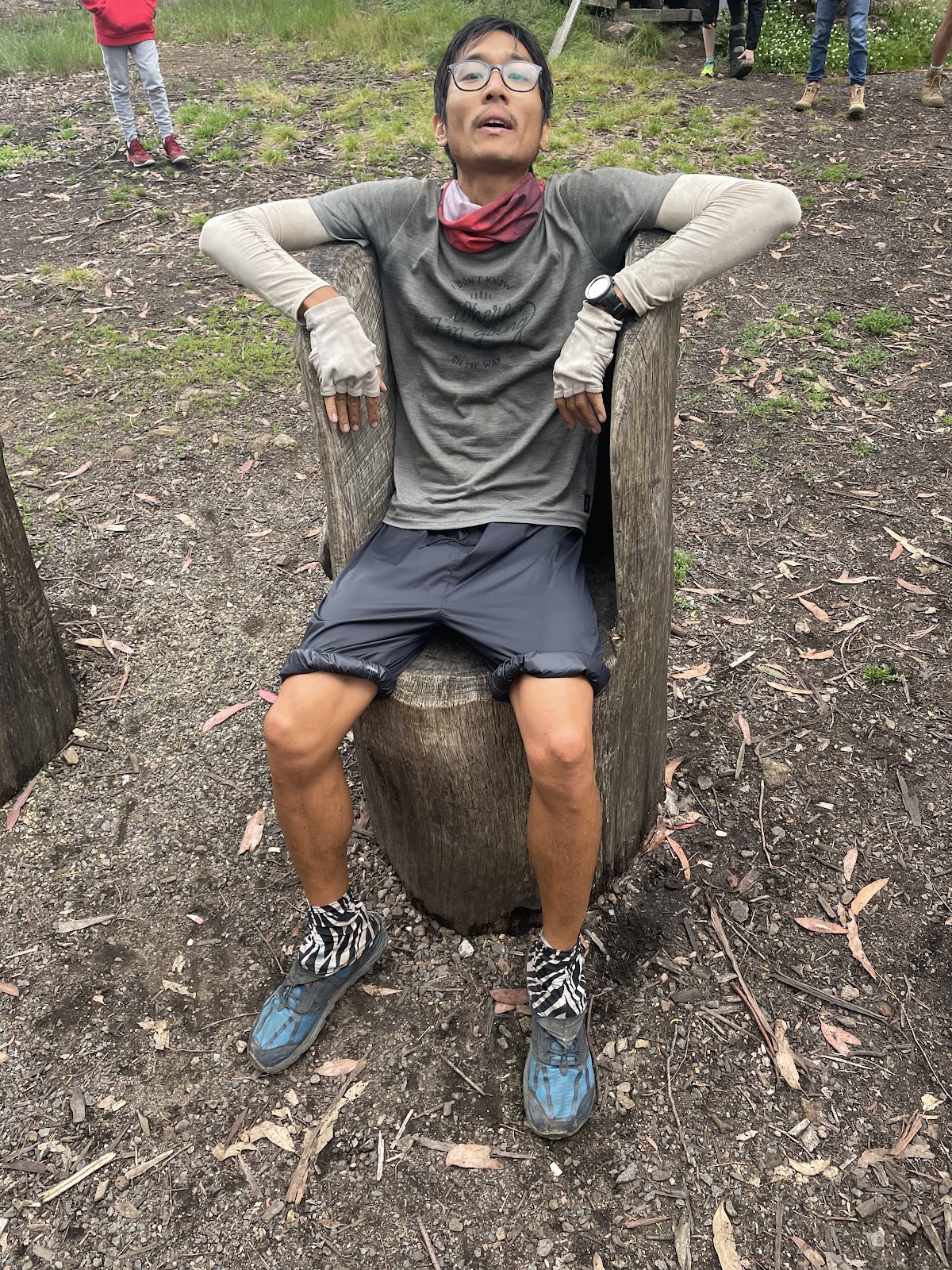
To pass the time, I decided to engineer a solution to counter my cold soaking situation.
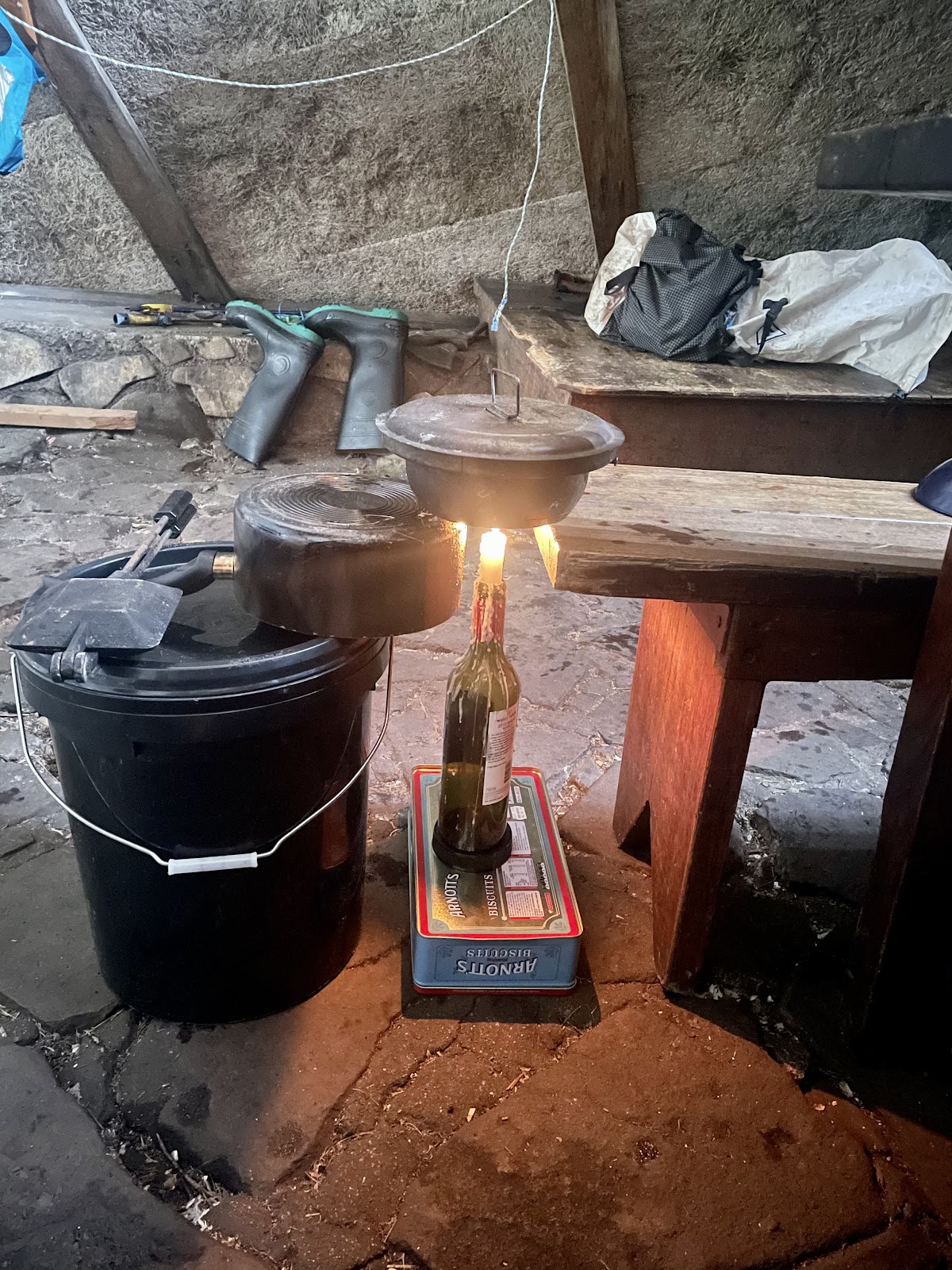
It worked surprisingly well.
Day 5
Feeling rejuvenated but still under the weather, I decided to wake up and leave 30mins before the boys. I climbed up the ridgeline and into the clouds.
This section of the Buller Huts track was named the “Cross Cut Saw” because the ridgeline cuts up and down through the elevation. It is located on the eastern side of the loop.
About 45mins into the morning, the moody mist began to fade away and the sun lit up the valleys.
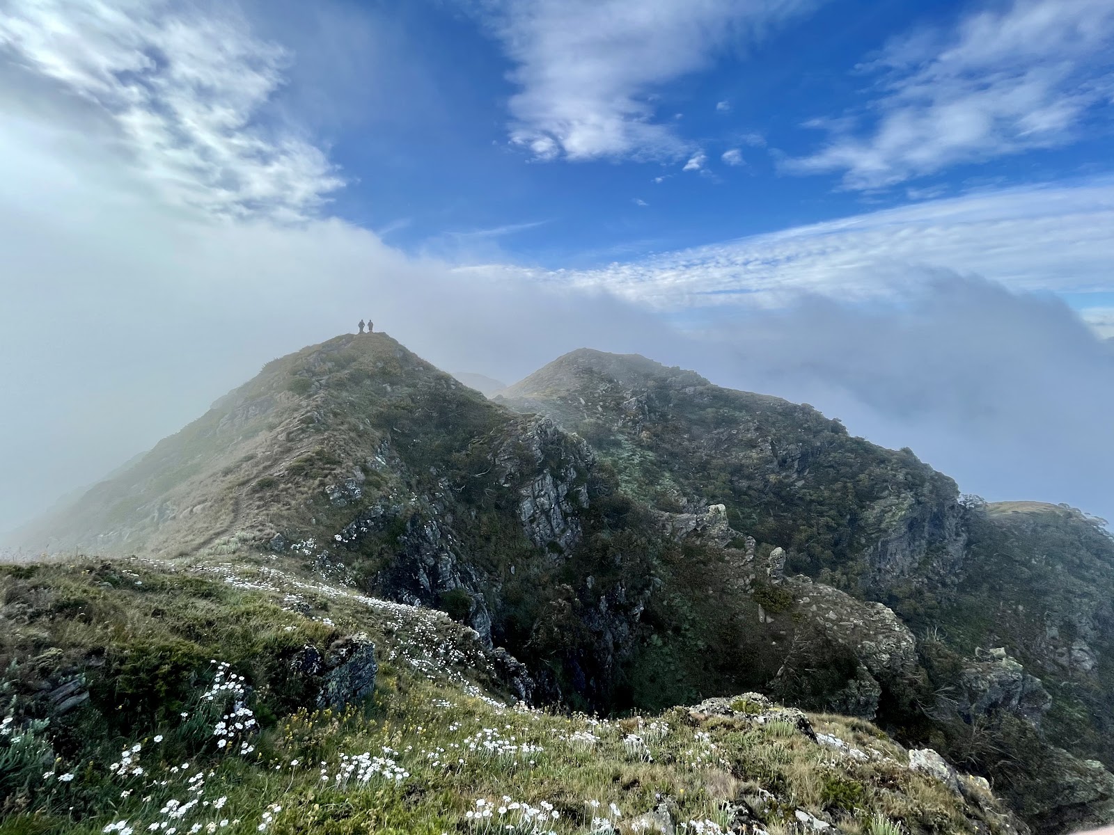
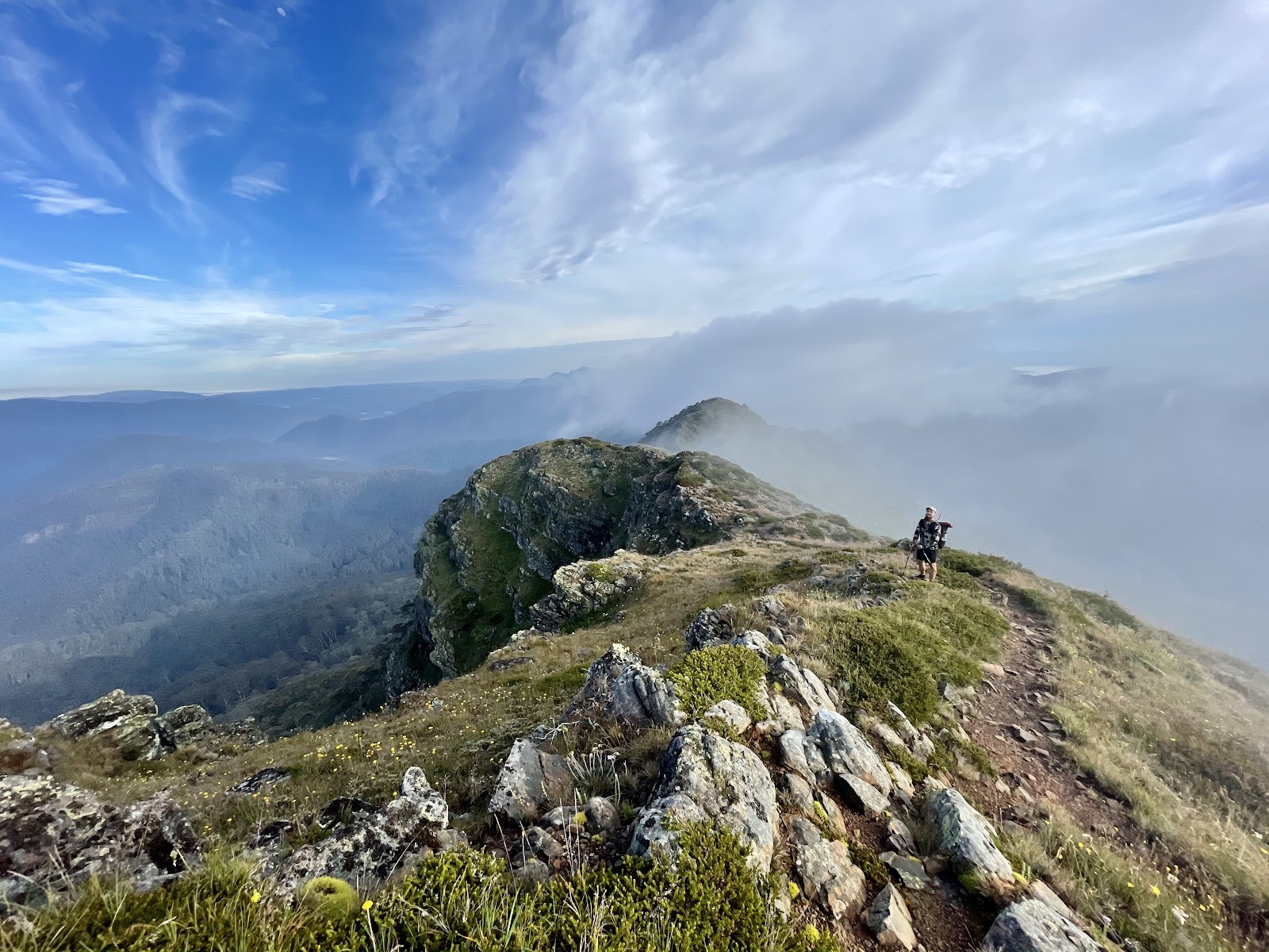

The high ridges of the Cross Cut gifted us wondrous photos and views of the valley. We hiked further north through to Mount Buggery and started to encounter thick underground shrubs. Some of the climbs became quite steep and scrambly.
I have to note just after Mount Speculation there is a small rope climb (don’t worry you don’t have to carry any rope. Although all of us got through it okay, I would suggest making sure there is a friend to help you, particularly if you have heavier packs. If you’re solo just take a bit of extra time.
I’d suggest you breathe in the last bit of Cross Cut’s alpine beauty before you get to Camp Creek. You’ll find a reliable and clean water source here at Camp Creek. It’s a great opportunity to rehydrate and take a break. With weather expected to come in again, we decided to make another push for King Hut. As I made my way along the 4WD track I met a couple that demonised “Museli Spur” track. Although the descent was steep, it was short and quickly smoothed out into a paddock area with King Hut. A quick dip in the King River, some pathetic cold soak textured Vegetable Protein for dinner and a stretch set me up for a cosy night. As the sun set, I could hear snores from both Zac and Ben’s tents.
Day 6 (our last day)
I decided to head out early again. Desperate to keep my feet dry for the day, I tried to do a river crossing slightly north of the hut. However, I failed miserably and ended up in almost knee deep swamp and an aggressive blackberry infestation. Speaking to other hikers, I was told that I could have stayed tighter to the river bank and it would have been fine. But alas, I had to double back! Heading south west to Craigs Hut, I started to encounter more and more blackberry bushes that had devastatingly become quite the aggressive pest within the Alpine National Park. Pushing through the blackberry bushes, it started to become uncomfortably overgrown to the point where I stopped being careful and just bulldozered through (I managed to only get a couple of bleeding cuts!).
I waypoint this as the “Cursed Blackberry Forest”. Fortunately, I think my bulldozer work was enough for Zac and Ben to get through relatively unscathed. The boys caught up with me and we all pushed through to Craig’s Hut for another water refill at the toilets*.
*From my research sometimes these toilets can run out of water as it is just rainwater.
Zac and Ben sat down for a bit of a snack while drying their tents. However, I was running out of steam and decided to start head off before them knowing that they would catch up. The 4WD tracks were steep and frequented by oversized, bold 4WDers going a little too fast for comfort. I would seriously warn hikers to be aware of 4WDers in the area and make good safety decisions. Both Zac and Ben powered onto the top of Mount Stirling
and decided to have lunch there. The weather was looming over us and I was keen to move on in case I was the last left behind in crazy weather. I flicked down a pretty mountain track

and unknowingly took a mountain biking track. I have never hiked a mountain biking track but assumed that I would have to yield to the bikers because of the specificness of the track. So with this logic, I ran 3km down the track pretending to be a mountain bike doing tricks over the jumps. As I waited at the Howqua Gap hut, a full 4WD rig parked out the front and started cooking sausages and drinking ice cold beers. I subtly tried to pick up a conversation to see if I could get my hands on one of those juicy sausage sandwiches… after all, they joked how there would be leftovers. No success though. The conversation unfortunately fizzled out. Zac and Ben showed up shortly after and we just relaxed at the hut before making the last push to the cars.
As we pushed for the last couple of KMs it started raining fat icy needles. As we trudged uphill, I gave my keys to Zac so he could speed up to my car and do the car shuffle before I got there. As luck would have it I hiked 3km back to my car soaked to the core and being pelted by mini hail. That’s hiking for you.
Rating:
Scenery: 8.5/10
Difficulty: 7/10
Resources/Facilities: 7/10
Track Quality: 6/10
Key Takeaways:
- Pack more food. You are always hungry.
- It’s okay not to be the fittest person, you just have to make it to the end.
- Buller is absolutely stunner and I can’t wait to ski tour it in the winter.
