HARVEY maps have been a valuable asset to walkers and hikers alike for over 5 decades. This family business that started by Robin and Sue Harvey back in 1977, has grown to be one of the most popular mapping companies in the UK and Ireland.

Because of this rich history in the UK hillwalking and hiking scene, we are extremely excited to enable our users to benefit from their fantastic maps. Beyond the UK & Ireland, HARVEY also cover areas in Canada, Africa and Greenland.
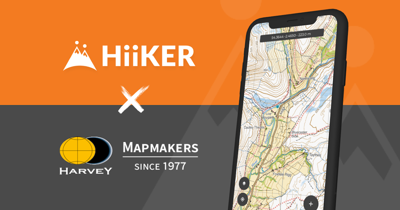
The development of their 1:25k Superwalker maps have been a major aid to walkers, mountain leaders and rescue teams all over the UK and Ireland. These fantastic maps are now available on HiiKER.

With a HiiKER PRO+ subscription, you can have access to the following areas that are covered by HARVEY maps, including
- Peak District
- Lake District
- Cairngorms
- North York Moors
- Connemara mountains
- Wicklow National park
- Snowdonia
- Yorkshire Dales
- Ben Nevis
- Loch Lomond
- Brecon Beacons
- Isle of Skye
- Isle of Mann
- Glencoe

As well as these maps, you will have access to other premium mapping providers such as OSi, EastWest maps, OSgb, OSNI, USGS, IGN. We will continue to expand this selection of maps.
All of these layers can be the base map on which you track a hike, plan a hike and view an existing verified trail on the HiiKER platform.
