Category: Map Reading
-
Introducing US Forestry Topo Maps – Now Available with HiiKER PRO+!
“Discover the power of US Forestry Topo maps, now available with HiiKER PRO+ subscription! Enhance your hiking experience with detailed trail data, navigational aids, and more, right at your fingertips. Upgrade to HiiKER PRO+ and let your next adventure begin!”

-
Hiking, Map Reading, Mobile Apps, Mountain Leader, mountain safety, Mountain Skills, Navigation skills, Packing List
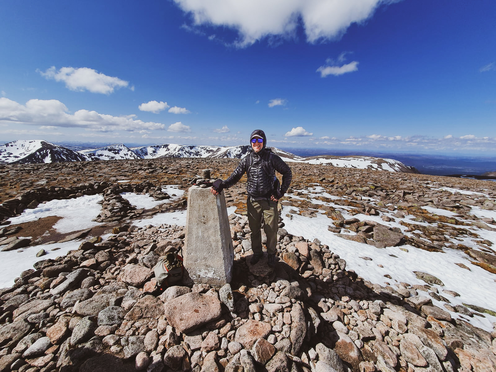
How to keep safe if you go walking in the Mountains?
Stay safe while enjoying the beauty of mountain hiking with our top tips. Learn about planning, essential gear, dealing with wildlife, understanding weather, and basic first aid skills to ensure a successful and safe mountain hiking experience.

-
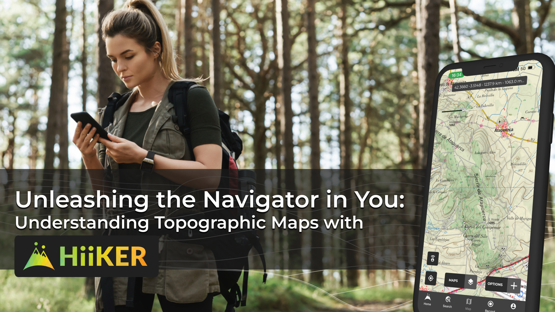
Unleashing the Navigator in You: Understanding Topographic Maps with HiiKER
“Dive deep into the world of topographic maps with our guide ‘Unleashing the Map Enthusiast in You.’ Discover how EastWest Mapping and Harvey Maps provide superior detail for hikers compared to basic street maps, and learn about the importance of map scales, especially the 1:25,000 scale. Perfect for hiking beginners and seasoned adventurers alike.”
-
Exclusive: EastWest Mapping’s Dingle Peninsula Maps on HiiKER!
The joy of hiking often lies in the journey and what we discover along the way. At HiiKER, we understand that and continually strive to deliver the tools necessary for our community of avid hikers to plan, navigate, and track their adventures confidently and effectively. Today, we are excited to announce an exclusive new addition…

-
Challenge hike, Europe, Guides, Hiking, Map Reading, Navigation skills, peak bagging, Trail, United Kingdom, Wales
Hiking the Welsh 3000s: A Challenging Adventure in the Beautiful Welsh Mountains
Get ready to tackle the Welsh 3000s, a demanding hike through 15 peaks over 3000ft high. Learn how to prepare, what to expect on the route, and tips for success in this ultimate adventure in North Wales.

-
Company Update, Feature, Ireland, Map Reading, Mountain Leader, mountain safety, Mountain Skills, Navigation skills, Partnerships
OSi Maps are now available on HiiKER
With full coverage of the Republic of Ireland in 1:50k detail – OSi (Ordnance Survey Ireland) maps complete any hiker’s toolkit. These richly detailed maps have been the work of Ordnance Survey Office since 1824 and later became a state body under the Ordnance Survey act of 2001. Used by hikers, walkers, mountain leaders and…

-
OS Maps are now available on HiiKER
William Roy, a young and innovative engineer was tasked with developing a small-scale military survey of Scotland during the Scottish rebellion of 1745. This 8-year survey paved the way for the development of a national survey of Great Britain. In 1791, Ordnance Survey was born thus starting the task of mapping the entirety of the…

-
Hiking, Ireland, Lake District, Map Reading, Mountain Leader, mountain safety, Mountain Skills, mourne mountains, Navigation skills, Partnerships, peak district, Scotland, United Kingdom, Wales, Wicklow, Yorkshire
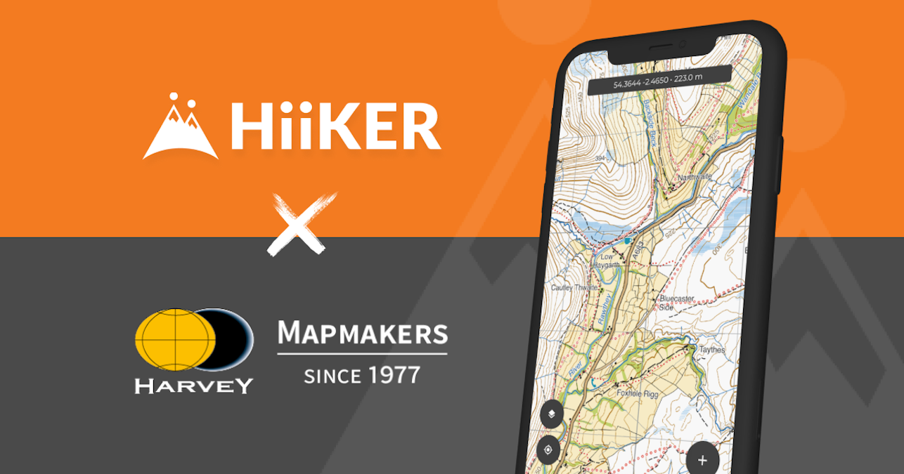
HARVEY Maps are now on HiiKER
HARVEY maps have been a valuable asset to walkers and hikers alike for over 5 decades. This family business that started by Robin and Sue Harvey back in 1977, has grown to be one of the most popular mapping companies in the UK and Ireland. Because of this rich history in the UK hillwalking and…
-
Connemara, Hiking, Ireland, Map Reading, Mountain Leader, mountain safety, Mountain Skills, Navigation skills, Partnerships, Wicklow
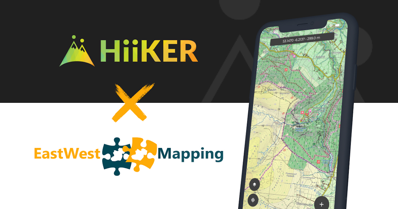
EastWest Maps now on HiiKER
Along with a major upgrade to the HiiKER Apps, we are delighted that HiiKER now features all of the Digital EastWest maps. This exclusive partnership brings the exceptional detail of EastWest maps to the most comprehensive application for Walkers and Hikers in Ireland (and around the world). EastWest maps are used by hikers and walkers…
-
Hiking, Interview, Ireland, Map Reading, Mountain Leader, mountain safety, Mountain Skills, Navigation skills, United Kingdom
What is a Mountain Leader?
My husband Tom just completed his Mountain Training but it wasn’t until a chance meeting with one last year that we found out what an ‘ML’ was, what they do and that Tom could become one – a seed was planted. So, I wanted to run through a few of the basic details about the…